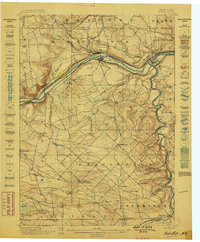
1898 Map of Fonda
USGS Topo · Published 1898About this map
The Mohawk River corridor dominates this late 19th-century landscape, serving as a congested artery for New York's industrial and transport networks. Two major rail lines, the New York Central and Hudson River and the West Shore R. R., parallel the riverbanks, while the Erie Canal cuts through the valley floor, passing through the twin centers of Fonda and Fultonville. The map illustrates the specialized infrastructure required to manage these competing transit modes, including numerous bridges and tight canal-side settlements like Yosts and Auriesville.
Find a feature on this map
57 named features on this map. Tap any name to fly to it.
Don’t see what you’re looking for? This feature index may not catch every label — zoom into the map to look around manually.
Map Details
Editions of this 1898 Fonda Map
This is the sole edition of this map. No revisions or reprints were ever made.
Other maps of this area
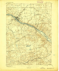
1895 · Amsterdam
USGS Topo · 1:62,500
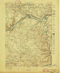
1896 · Fonda
USGS Topo · 1:62,500
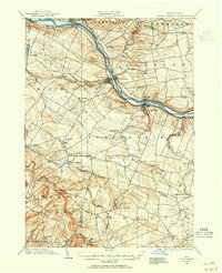
1898 · Canajoharie
USGS Topo · 1:62,500
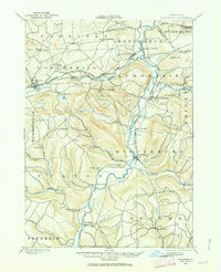
1898 · Schoharie
USGS Topo · 1:62,500
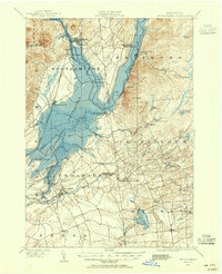
1899 · Broadalbin
USGS Topo · 1:62,500
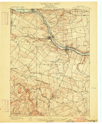
1900 · Canajoharie
USGS Topo · 1:62,500
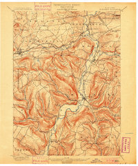
1900 · Schoharie
USGS Topo · 1:62,500
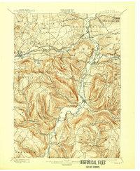
1900 · Schoharie
USGS Topo · 1:31,680
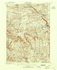
1900 · Berne
USGS Topo · 1:62,500
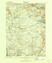
1901 · Lassellsville
USGS Topo · 1:62,500