2021 Map of Fontenelle
USGS Topo · Published 2021About this map
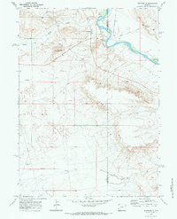
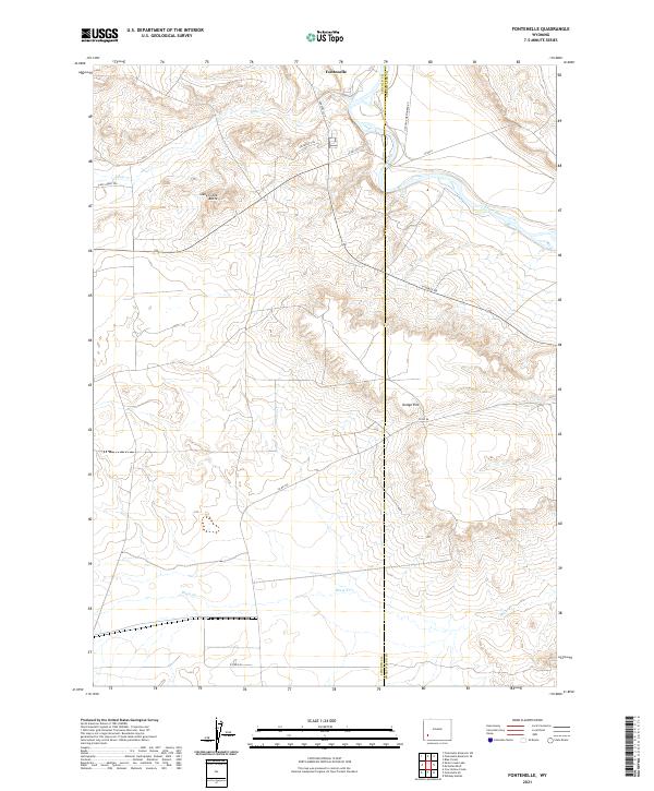
Fontenelle is situated on the western bank of the Green River, serving as a key point of orientation in a landscape defined by prominent geological formations and historical passage. The terrain is marked by the elevated height of Slate Creek Butte and the sharp drop of Dodge Rim, which overlook the winding paths of Slate Cr and Shute Cr. This map documents the persistent alignment of historical westward migration routes, specifically the Emigrant Trl and Slate Creek Trl, which follow the natural contours of the river valley. The infrastructure is characterized by secondary routes like La Barge Rd and several county roads that connect the isolated settlements across the county boundary between Lincoln and Sweetwater counties. The layout of section lines and range markers underscores the systematic land divisions that have governed this part of the Wyoming interior since the early frontier era.
Find a feature on this map
18 named features on this map. Tap any name to fly to it.
Don’t see what you’re looking for? This feature index may not catch every label — zoom into the map to look around manually.
Map Details
Editions of this 2021 Fontenelle Map
This is the sole edition of this map. No revisions or reprints were ever made.