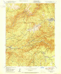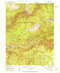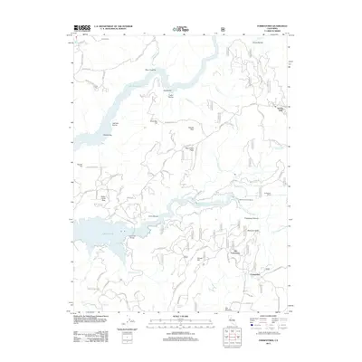
1948 Map of Forbestown
USGS Topo · Published 1967About this map
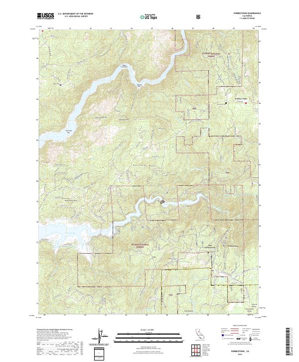
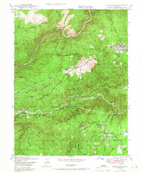
Gold mining history and the timber-driven economy of the late 1940s are visible across this landscape in the Sierra Nevada foothills. The South Fork Feather River and Middle Fork Feather River carve through the terrain, providing the water power for an intricate network of flumes and canals, including the Wyandotte Canal and Palermo Canal. Settlement is concentrated around the historic community of Forbestown and the nearby site of Old Forbestown, while the presence of the Indian Cemetery northwest of Feather Falls points to an even deeper lineage of habitation.
Find a feature on this map
45 named features on this map. Tap any name to fly to it.
Don’t see what you’re looking for? This feature index may not catch every label — zoom into the map to look around manually.
Map Details
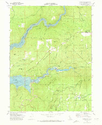
Editions of this 1948 Forbestown Map
This is the sole edition of this map. No revisions or reprints were ever made.
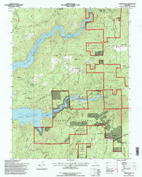
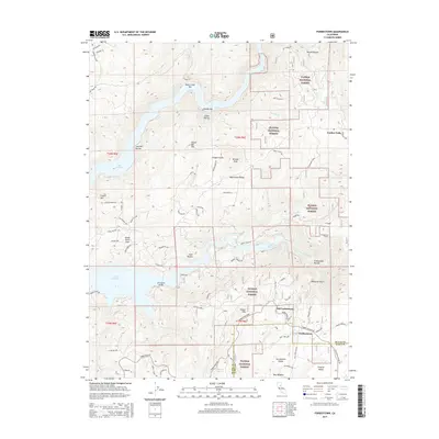
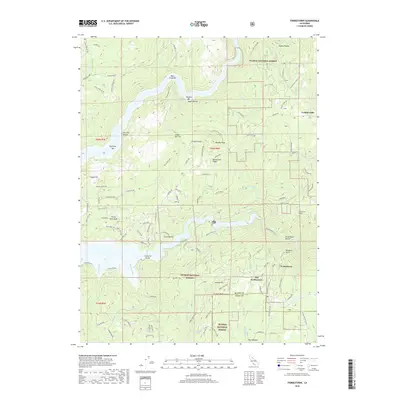
Historical Maps of Old Forbestown Through Time
9 maps found