
Loading...
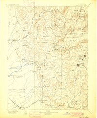
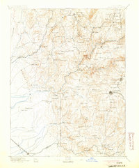
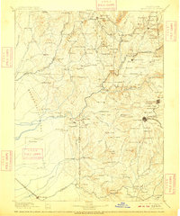
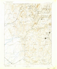
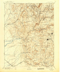
Loading map...1895 Map of Smartsville
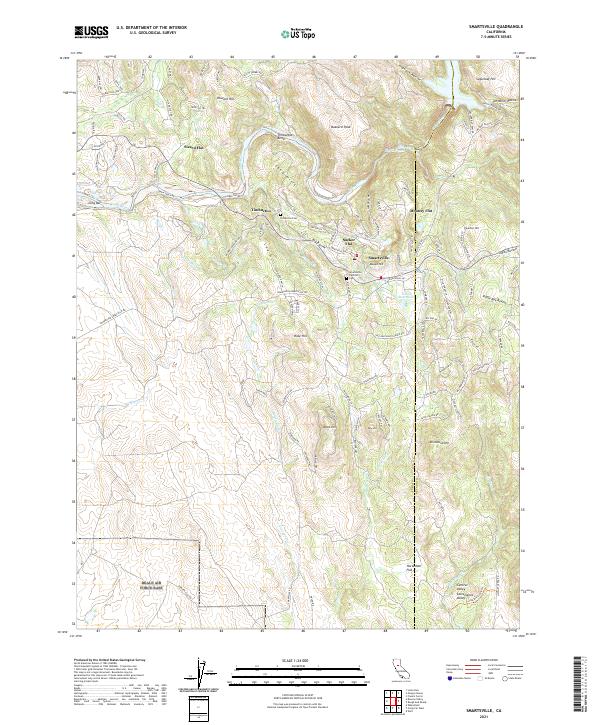
USGS Topo · Published 1895About this map
Gold mining operations and early Sierra foothill settlements dominate this 1895 survey of the Yuba River watershed. The major mining centers of Nevada City and Grass Valley are shown in high detail, anchored by the heavy industrial footprints of the Idaho Mine, Empire Mine, and North Star Mine. The presence of the Sulphuret Works near Nevada City and the Nevada Co. Narrow Gauge R. R. illustrates the sophisticated logistics required for late 19th-century quartz mining.
Find a feature on this map
175 named features on this map. Tap any name to fly to it.
Don’t see what you’re looking for? This feature index may not catch every label — zoom into the map to look around manually.
Map Details
Date Portrayed1895
Date Published1895
PublisherU.S. Geological Survey
Map TypeTopographic
Scale1:125,000
Physical Dimensions15.9 x 20.1 inches
Editions of this 1895 Smartsville Map
6 editions found
Historical Maps of Grass Valley Through Time
9 maps found


Featured Locations
Source Details
SourceU.S. Geological Survey
CopyrightPublic Domain