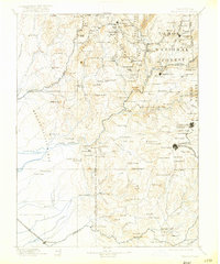
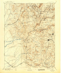
1895 Map of Smartsville
USGS Topo · Published 1917About this map
Gold mining operations and timber interests dominate this rugged landscape of the northern Sierra foothills at the close of the nineteenth century. The map centers on the hydraulic and hard-rock mining districts of Yuba and Nevada Counties, where the Nevada Co. Narrow Gauge R.R. connects the industrial hubs of Grass Valley and Nevada City to the broader region. Significant quartz mines including the Idaho Mine, Empire Mine, and North Star Mine are clearly marked, illustrating the intensive mineral extraction that defined the local economy during this era.
Find a feature on this map
154 named features on this map. Tap any name to fly to it.
Don’t see what you’re looking for? This feature index may not catch every label — zoom into the map to look around manually.
Map Details
Editions of this 1895 Smartsville Map
6 editions found

Other maps of this area

1888 · Marysville
USGS Topo · 1:125,000

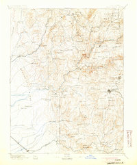
1888 · Smartsville
USGS Topo · 1:125,000

1888 · Bidwell Bar
USGS Topo · 1:125,000

1891 · Bidwell Bar
USGS Topo · 1:125,000

1891 · Chico
USGS Topo · 1:125,000

1891 · Downieville
USGS Topo · 1:125,000

1891 · Sacramento
USGS Topo · 1:125,000

1891 · Colfax
USGS Topo · 1:125,000

1891 · Marysville
USGS Topo · 1:125,000

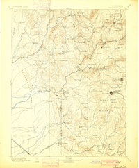
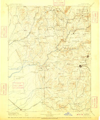
1891 · Smartsville
USGS Topo · 1:125,000