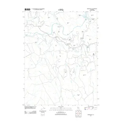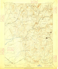
1895 Map of Smartsville
USGS Topo · Published 1909About this map
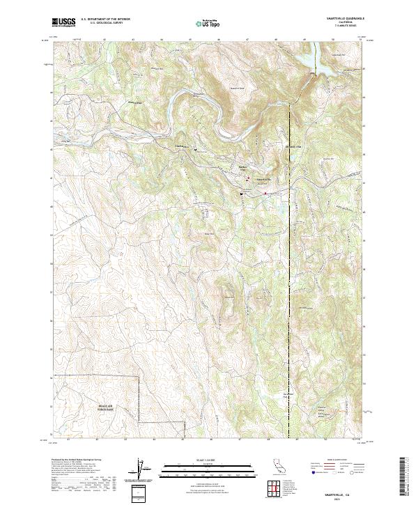
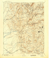
Gold mining operations and family-named ranches define this late 19th-century landscape at the intersection of Butte, Yuba, Nevada, and Placer counties. The map captures the industrial peak of the California Mother Lode, centered on the deep-shaft Empire Mine and the neighboring Idaho Mine and North Star Mines. To the north and west, the terrain transitions from the high peaks like Oregon Peak into a network of creek-fed valleys including Penn Valley and Sharon Valley, where smaller settlements like Camptonville and Bangor flourished.
Find a feature on this map
168 named features on this map. Tap any name to fly to it.
Don’t see what you’re looking for? This feature index may not catch every label — zoom into the map to look around manually.
Map Details
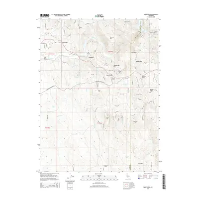
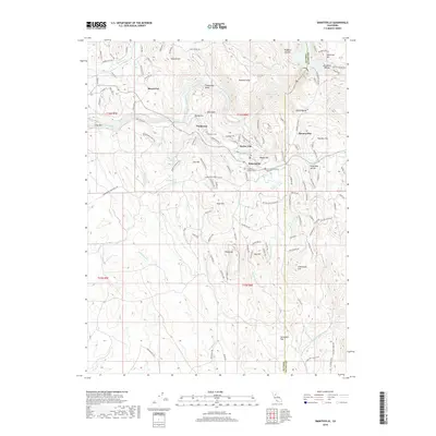
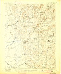
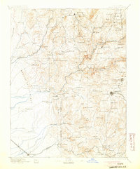
Editions of this 1895 Smartsville Map
6 editions found

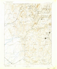
Historical Maps of Grass Valley Through Time
9 maps found