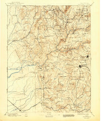
1895 Map of Smartsville
USGS Topo · Published 1943About this map
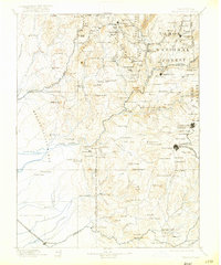
Gold mining operations and early Sierra Nevada foothill settlements define this late nineteenth-century landscape. Major hard-rock operations including the North Star Mines, Empire Mine, and Idaho Mine cluster near the bustling centers of Nevada City and Grass Valley, while industrial sites like the Sulphuret Works highlight the region's mineral processing history. The map records a dense network of stage houses and ranches that served as vital waypoints for miners and travelers, such as Summit House, Pike County House, and Maple Grove Ranch.
Find a feature on this map
168 named features on this map. Tap any name to fly to it.
Don’t see what you’re looking for? This feature index may not catch every label — zoom into the map to look around manually.
Map Details
Editions of this 1895 Smartsville Map
6 editions found

Other maps of this area

1888 · Marysville
USGS Topo · 1:125,000

1888 · Smartsville
USGS Topo · 1:125,000

1888 · Bidwell Bar
USGS Topo · 1:125,000

1891 · Bidwell Bar
USGS Topo · 1:125,000

1891 · Chico
USGS Topo · 1:125,000

1891 · Downieville
USGS Topo · 1:125,000

1891 · Sacramento
USGS Topo · 1:125,000

1891 · Colfax
USGS Topo · 1:125,000

1891 · Marysville
USGS Topo · 1:125,000

1891 · Smartsville
USGS Topo · 1:125,000