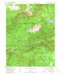
1950 Map of Forbestown
USGS Topo · Published 1950About this map
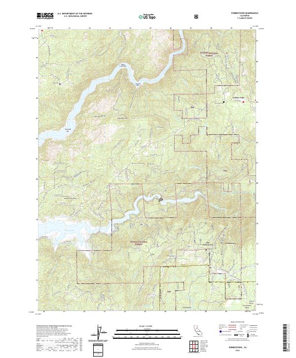
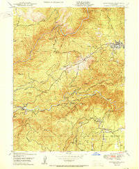
Middle Fork Feather River and South Fork Feather River carve through this portion of the Sierra Nevada foothills during a period of transition for the local mining industry. The 1950 survey reveals a landscape where gold extraction has largely quieted, as evidenced by several marked inactive sites including the Southern Cross Mine, Denver Mine, and Gold Bank Mine. These industrial remnants sit alongside established settlements like Forbestown and Feather Falls, the latter of which features a Sawmill and specialized Railway infrastructure.
Find a feature on this map
46 named features on this map. Tap any name to fly to it.
Don’t see what you’re looking for? This feature index may not catch every label — zoom into the map to look around manually.
Map Details
Editions of this 1950 Forbestown Map
This is the sole edition of this map. No revisions or reprints were ever made.
Historical Maps of Old Forbestown Through Time
9 maps found