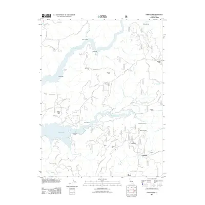
1955 Map of Forbestown
USGS Topo · Published 1965About this map
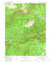
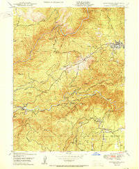
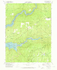
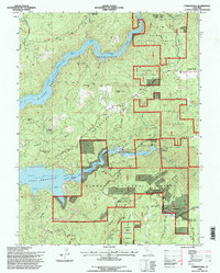
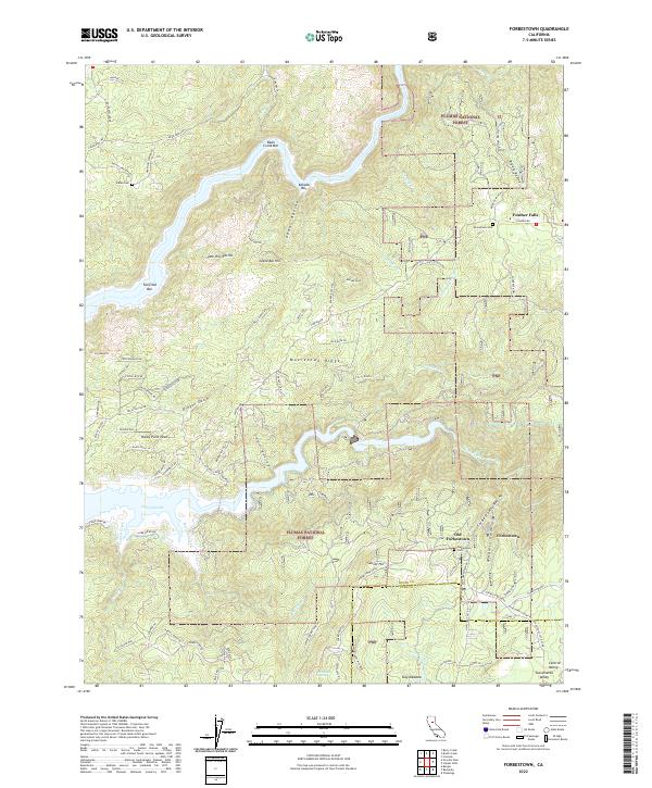
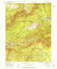
Gold mining history and timber transport define this portion of the northern Sierra Nevada foothills, where the Middle Fork Feather River and South Fork Feather River carve deep canyons through the Plumas National Forest. The landscape is a map of late 19th and early 20th-century industry, with the Feather River Railway winding through the northern ridges to serve the lumber operations near Feather Falls. Near the southern boundary, the twin settlements of Forbestown and Old Forbestown sit at a convergence of old mining roads and water infrastructure, including the Palermo Wyandotte Canal. A significant legacy of the local mining era is visible in the numerous inactive claims such as the Gold Bank Mine, Midas Mine, and Denver Mine. Local heritage is further anchored by the Indian Cemetery located north of Enterprise, marking the enduring presence of the area's earliest inhabitants amidst the mid-century logging and mining landscape.
Find a feature on this map
41 named features on this map. Tap any name to fly to it.
Don’t see what you’re looking for? This feature index may not catch every label — zoom into the map to look around manually.
Map Details
Editions of this 1955 Forbestown Map
This is the sole edition of this map. No revisions or reprints were ever made.
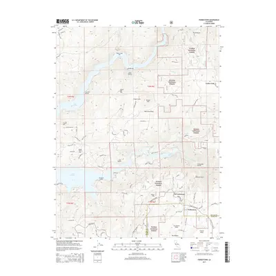
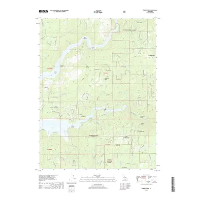
Historical Maps of Old Forbestown Through Time
9 maps found