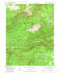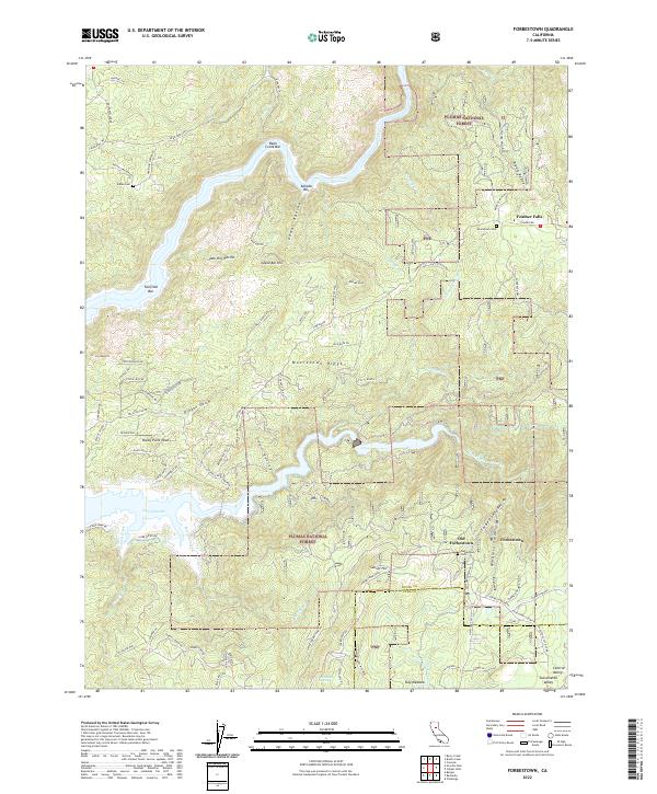
1970 Map of Forbestown
USGS Topo · Published 1973About this map
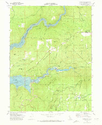
Lake Oroville and the Middle Fork Feather River dominate this 1970s survey, illustrating a landscape defined by water management and historic extractive industry. The map captures the transition from the deep river canyons of the Feather River Recreation Area to the high ridges of the Plumas National Forest. Settlement patterns are concentrated around Forbestown and Old Forbestown, while legacy infrastructure like the Old Lumpkin Grade Railroad and the Old Oregon Railroad Grade trace the region's logging and transport history.
Find a feature on this map
61 named features on this map. Tap any name to fly to it.
Don’t see what you’re looking for? This feature index may not catch every label — zoom into the map to look around manually.
Map Details
Editions of this 1970 Forbestown Map
This is the sole edition of this map. No revisions or reprints were ever made.
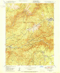
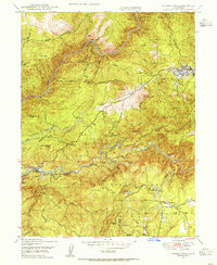
Historical Maps of Old Forbestown Through Time
9 maps found