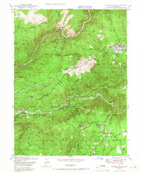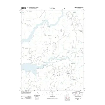
1994 Map of Forbestown
USGS Topo · Published 1998About this map
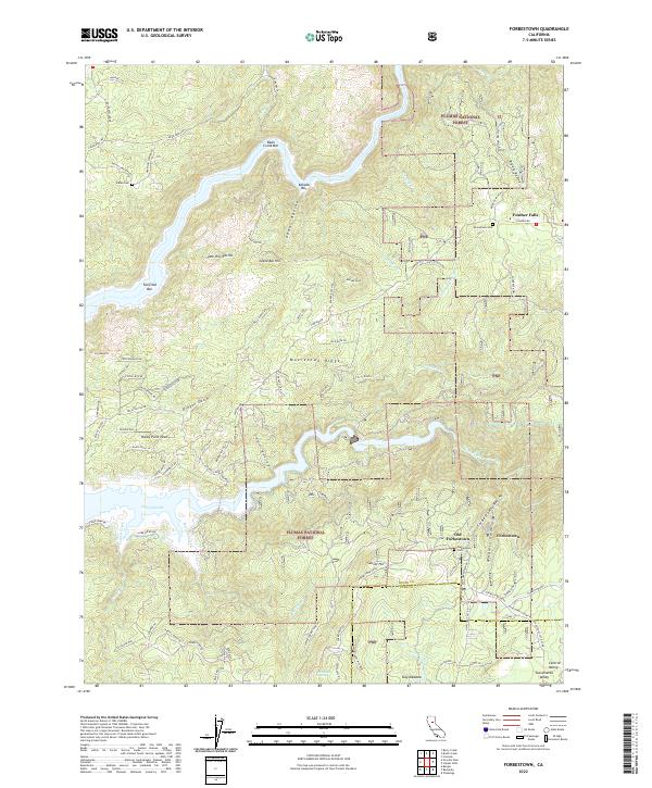
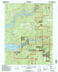
The South Fork Feather River and Middle Fork Feather River converge into the expansive Lake Oroville, a central feature of the late 20th-century Sierra Nevada foothills landscape. This 1994 revision highlights a complex network of water management and resource extraction, featuring the Forbestown Ditch, Forbestown Canal, and the Ponderosa Reservoir. The map documents the spatial relationship between contemporary settlements like Forbestown and historical sites such as Old Forbestown. Cultural heritage is noted through the Indian Cem and local tribal lands including Enterprise Rancheria and Berry Creek Rancheria. Industrial history is anchored by the Carlyle Mine, Denver Mine, and the Forbestown Powerhouse, illustrating the region's enduring reliance on the river system for power and gold.
Find a feature on this map
54 named features on this map. Tap any name to fly to it.
Don’t see what you’re looking for? This feature index may not catch every label — zoom into the map to look around manually.
Map Details
Editions of this 1994 Forbestown Map
This is the sole edition of this map. No revisions or reprints were ever made.
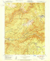
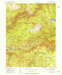
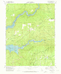
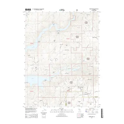
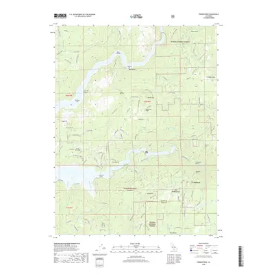
Historical Maps of Old Forbestown Through Time
9 maps found