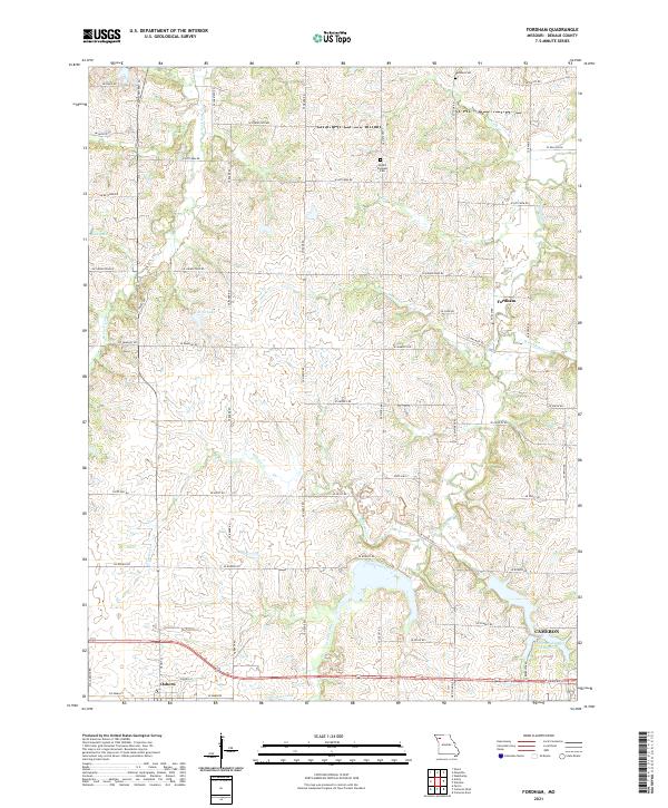
2021 Map of Fordham
USGS Topo · Published 2021About this map
Fordham and the surrounding DeKalb County landscape are defined by a network of creeks and small reservoirs that drain the agricultural uplands. The community of Osborn sits at the southwestern edge of the map, while the northern outskirts of Cameron reach into the southeastern corner, dominated by the Cameron Number 1 Reservoir. This area is characterized by a high density of rural roads named for local families, including SE Sheridan Rd, SE Baker Rd, and SE Cook RD, which suggest long-standing land ownership patterns.
Find a feature on this map
56 named features on this map. Tap any name to fly to it.
Don’t see what you’re looking for? This feature index may not catch every label — zoom into the map to look around manually.
Map Details
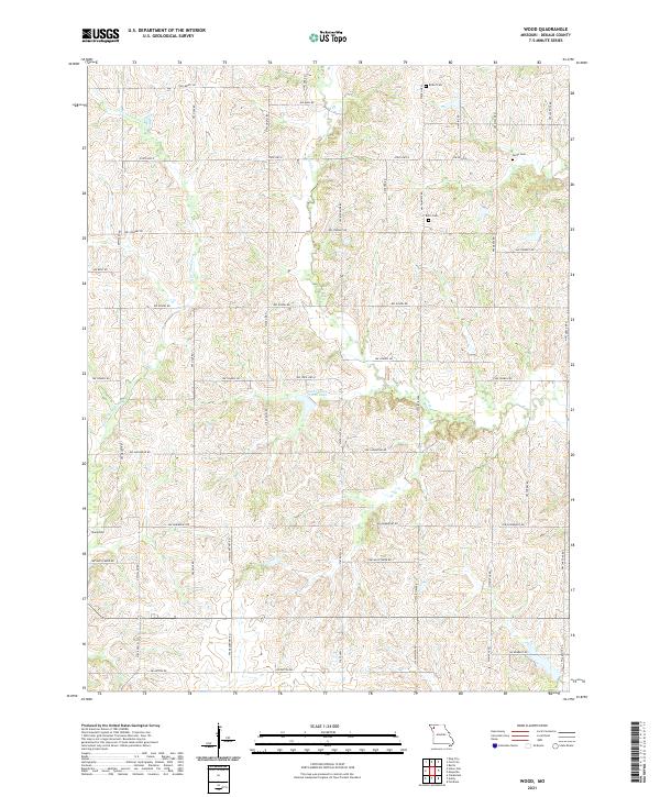
Editions of this 2021 Fordham Map
This is the sole edition of this map. No revisions or reprints were ever made.
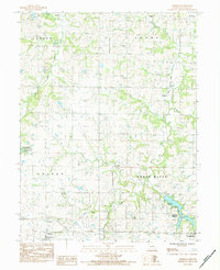
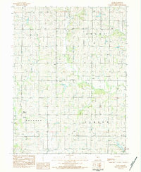
Historical Maps of Osborn Through Time
4 maps found