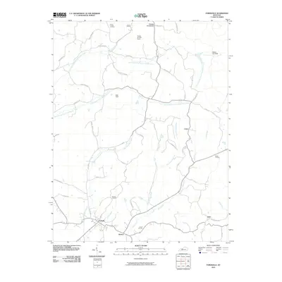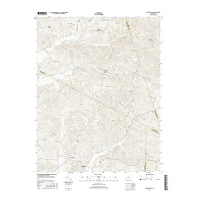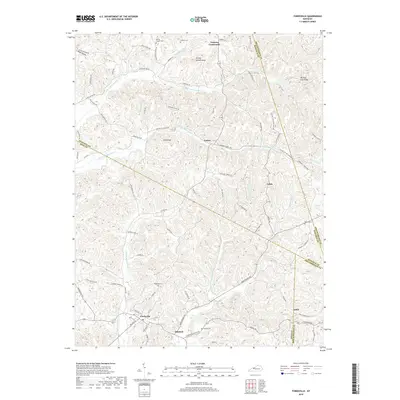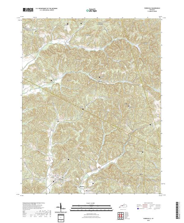
2022 Map of Fordsville
USGS Topo · Published 2022About this map
Fordsville serves as the primary hub in this corner of the Commonwealth where the borders of Ohio Co, Hancock Co, and Breckinridge Co converge. The landscape is defined by the dendritic drainage patterns of the N Br S Fork Panther Cr and Adams Fork, creating a series of narrow ridges and hollows that historically dictated settlement patterns. Small communities like Easton, Cabot, and Ellmitch are linked by a network of winding roads, many bearing the names of early local families such as Thurman Crowe Rd and Frank Richards Rd.
Find a feature on this map
94 named features on this map. Tap any name to fly to it.
Don’t see what you’re looking for? This feature index may not catch every label — zoom into the map to look around manually.
Map Details
Editions of this 2022 Fordsville Map
This is the sole edition of this map. No revisions or reprints were ever made.
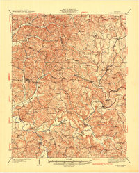
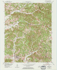
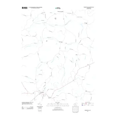
Historical Maps of Fordsville Through Time
7 maps found