Loading...
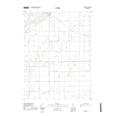
Loading map...1982 Map of Forest City
USGS Topo · Published 1982About this map
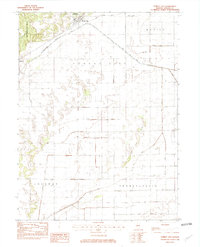
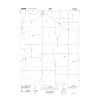
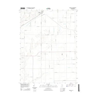
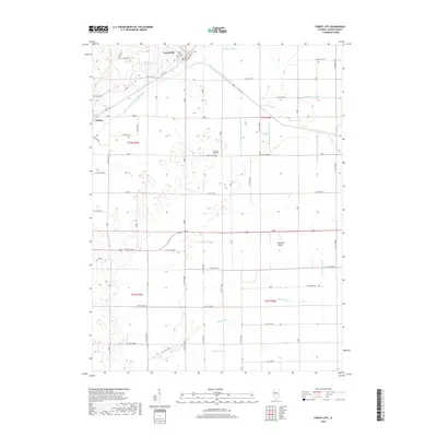
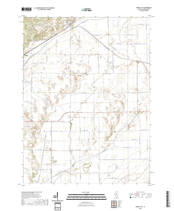
Forest City serves as the primary hub in this agricultural region of Central Illinois, where the landscape is defined by an extensive network of drainage infrastructure designed to manage the flat, low-lying terrain. The map reveals the critical importance of water management through named channels like Quiver Ditch, Roos Ditch, and Allens Grove Ditch, which crisscross the rural townships of Manito, Sherman, and Pennsylvania.
Find a feature on this map
19 named features on this map. Tap any name to fly to it.
Don’t see what you’re looking for? This feature index may not catch every label — zoom into the map to look around manually.
Map Details
Date Portrayed1982
Date Published1982
PublisherU.S. Geological Survey
Map TypeTopographic
Scale1:24,000
Physical Dimensions21.9 x 27.1 inches
Editions of this 1982 Forest City Map
This is the sole edition of this map. No revisions or reprints were ever made.
Historical Maps of Forest City Through Time
6 maps found
Featured Locations
Source Details
SourceU.S. Geological Survey
CopyrightPublic Domain