Loading...
Loading map...2024 Map of Forest City
USGS Topo · Published 2024About this map
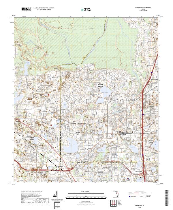
The Wekiva Wild and Scenic River and its surrounding wetlands form a significant natural corridor in this modern survey of the Orange and Seminole County border. The landscape is a study in the juxtaposition of protected wilderness and rapid suburban development, with the Wekiva Springs State Park and Rock Springs Run State Reserve anchoring the northern half of the quadrangle. These preserves protect critical hydrology like Witherspoon Spring and Wekiva Swamp.
Find a feature on this map
81 named features on this map. Tap any name to fly to it.
Don’t see what you’re looking for? This feature index may not catch every label — zoom into the map to look around manually.
Map Details
Date Portrayed2024
Date Published2024
PublisherU.S. Geological Survey
Map TypeTopographic
Scale1:24000
Physical Dimensions24 x 29 inches
Editions of this 2024 Forest City Map
This is the sole edition of this map. No revisions or reprints were ever made.
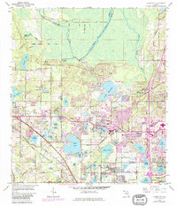
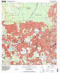
Historical Maps of Orienta Gardens Through Time
3 maps found
Featured Locations
Source Details
SourceU.S. Geological Survey
CopyrightPublic Domain