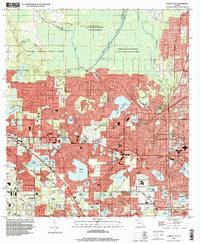
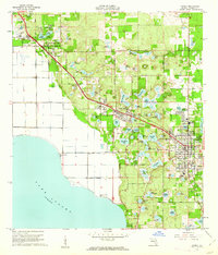
1995 Map of Forest City
USGS Topo · Published 2000About this map
Rock Springs Run State Reserve and Wekiwa Springs State Park dominate the northern landscape of this mid-1990s Florida survey, preserving the natural hydrological character of the region. This area, known for its artesian flow and spring-fed runs, stands in stark contrast to the burgeoning residential density developing to the south. The suburban expansion of Altamonte Springs and Longwood is evident through an intricate web of roads like Balmy Beach Rd and Maitland Blvd, which wrap around a dense concentration of water bodies including Bear Lake and Lake Brantley.
Find a feature on this map
86 named features on this map. Tap any name to fly to it.
Don’t see what you’re looking for? This feature index may not catch every label — zoom into the map to look around manually.
Map Details
Editions of this 1995 Forest City Map
This is the sole edition of this map. No revisions or reprints were ever made.
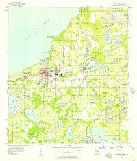
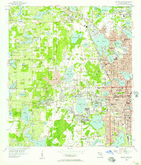
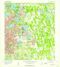
Other maps of this area

1955 · Orlando
USGS Topo · 1:250,000
1956 · Winter Garden
USGS Topo · 1:24,000
1956 · Orlando West
USGS Topo · 1:24,000
1956 · Orlando East
USGS Topo · 1:24,000

1957 · Orlando
USGS Topo · 1:250,000

1958 · Orlando
USGS Topo · 1:250,000
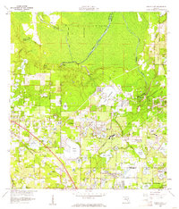
1959 · Forest City
USGS Topo · 1:24,000

1960 · Sorrento
USGS Topo · 1:24,000
1960 · Apopka
USGS Topo · 1:24,000

1962 · Orlando
USGS Topo · 1:250,000