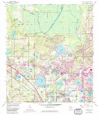
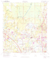
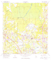
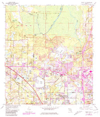
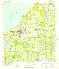
1959 Map of Forest City
USGS Topo · Published 1985About this map
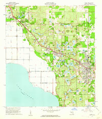
The Wekiwa River and its headwaters at Wekiwa Springs State Park define the northern portion of this Central Florida landscape. To the south, the terrain transitions into a dense concentration of lakes and expanding mid-century suburban settlements. The influence of the Seaboard Coast Line and an Old Railroad Grade illustrate the region's evolving transportation network, supporting towns like Altamonte Springs, Longwood, and Apopka. Significant local landmarks include the Forest Lake Academy and Highland Memory Garden, alongside numerous water bodies such as Bear Lake and Lake Brantley. The map also documents community institutions like Mt Tabor Ch and Greater New Providence Ch, providing a detailed view of the social and hydrological fabric of the area before the most intensive modern development.
Find a feature on this map
91 named features on this map. Tap any name to fly to it.
Don’t see what you’re looking for? This feature index may not catch every label — zoom into the map to look around manually.
Map Details
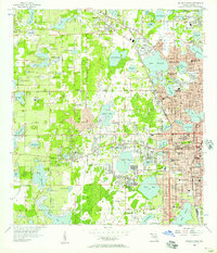
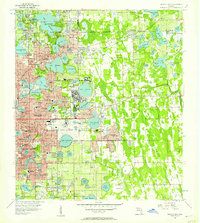
Editions of this 1959 Forest City Map
5 editions found
Other maps of this area

1955 · Orlando
USGS Topo · 1:250,000
1956 · Winter Garden
USGS Topo · 1:24,000
1956 · Orlando West
USGS Topo · 1:24,000
1956 · Orlando East
USGS Topo · 1:24,000

1957 · Orlando
USGS Topo · 1:250,000

1958 · Orlando
USGS Topo · 1:250,000
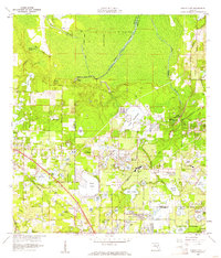
1959 · Forest City
USGS Topo · 1:24,000

1960 · Sorrento
USGS Topo · 1:24,000
1960 · Apopka
USGS Topo · 1:24,000

1962 · Orlando
USGS Topo · 1:250,000