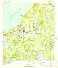
1959 Map of Forest City
USGS Topo · Published 1971About this map
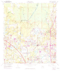
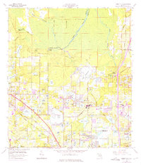
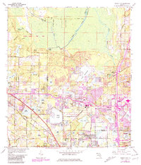
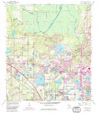
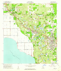
Wekiva Springs and the headwaters of the Wekiva River anchor this landscape along the Orange and Seminole county line during a period of rapid suburban transition. The map captures a high density of named lakes, from the large expanse of Bear Lake to smaller bodies like Lake Vivian and Lake Cortez, reflecting the hydrologic character of the central Florida ridge. Settlement patterns are concentrated along the Seaboard Coast Line corridor, where communities like Forest City and Lockhart sit adjacent to institutional landmarks such as the Forest Lake Academy.
Find a feature on this map
71 named features on this map. Tap any name to fly to it.
Don’t see what you’re looking for? This feature index may not catch every label — zoom into the map to look around manually.
Map Details
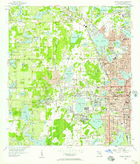
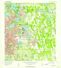
Editions of this 1959 Forest City Map
5 editions found
Other maps of this area

1955 · Orlando
USGS Topo · 1:250,000
1956 · Winter Garden
USGS Topo · 1:24,000
1956 · Orlando West
USGS Topo · 1:24,000
1956 · Orlando East
USGS Topo · 1:24,000

1957 · Orlando
USGS Topo · 1:250,000

1958 · Orlando
USGS Topo · 1:250,000
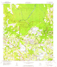
1959 · Forest City
USGS Topo · 1:24,000

1960 · Sorrento
USGS Topo · 1:24,000
1960 · Apopka
USGS Topo · 1:24,000

1962 · Orlando
USGS Topo · 1:250,000