2023 Map of Forest
USGS Topo · Published 2023About this map
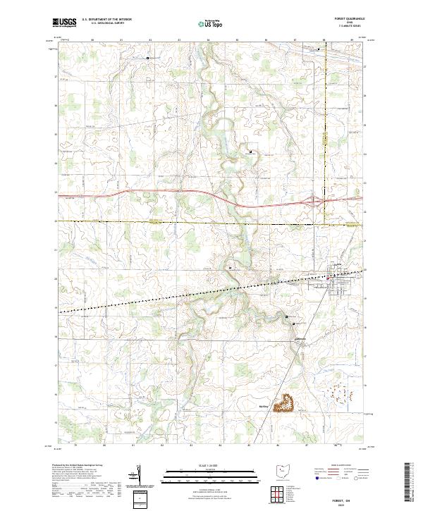
The Blanchard River and its numerous tributaries, including Ripley Run and Potato Run, wind through this agricultural landscape at the intersection of Hardin, Hancock, and Wyandot Counties. The village of Forest serves as a central hub, where the residential street grid gives way to the surrounding farmland and the legacy of the local rail line is preserved along Railroad St. Just to the south, the smaller settlement of Patterson is situated near the distinctive marshy drainage known as The Outlet, reflecting the region's post-glacial topography and drainage patterns. Genealogists will find a high density of burial sites across the townships, from the Earlywine Cem in the north to the Patterson Cem and Price Cem further south. The map also documents the rural crossroads of McVitty and the dispersed network of county and township roads that link these long-standing farming communities.
Find a feature on this map
73 named features on this map. Tap any name to fly to it.
Don’t see what you’re looking for? This feature index may not catch every label — zoom into the map to look around manually.
Map Details
Editions of this 2023 Forest Map
This is the sole edition of this map. No revisions or reprints were ever made.
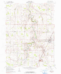
Historical Maps of Forest Through Time
Featured Locations
- Blanchard Township, OH
- Jackson Township, OH
- Richland Township, OH
- Forest, Jackson Township
- Patterson, Jackson Township