2022 Map of Foresthill
USGS Topo · Published 2022About this map
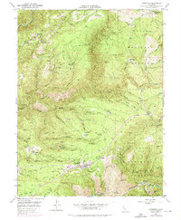
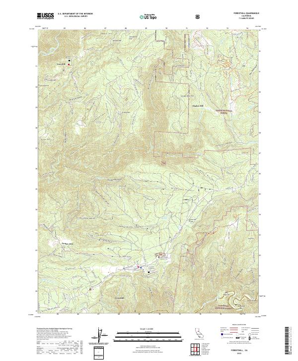
Foresthill and the surrounding gold-country ridges define this topographic landscape in the Sierra Nevada foothills. The settlement of Foresthill is positioned along the Forest Hill Divide, a prominent ridge separating the drainage basins of the American River system. To the north, the terrain drops steeply toward the North Fork American Wild and Scenic River, while the south is marked by the complex canyons of the Middle Fork American River tributaries. Local history is deeply etched into the geography, seen in the proximity of Yankee Jims and Iowa Hill. Traces of the region's industrial past are preserved through labels like Hughes Mill and the access roads to former mining operations, including Baltimore Mine Rd and Three Queens Mine Rd. Genealogists will find particular value in the clearly marked Saint Joseph Catholic Cem and Foresthill Protestant Cem near the town center.
Find a feature on this map
115 named features on this map. Tap any name to fly to it.
Don’t see what you’re looking for? This feature index may not catch every label — zoom into the map to look around manually.
Map Details
Editions of this 2022 Foresthill Map
This is the sole edition of this map. No revisions or reprints were ever made.
Historical Maps of Foresthill Through Time
5 maps found