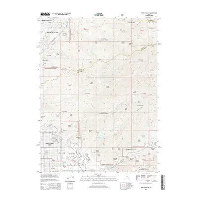
2014 Map of Fort Douglas
USGS Topo · Published 2014About this map
Salt Lake City and the adjacent heights of the Wasatch Range dominate this study of the northeastern valley edge in the mid-2010s. The dense urban grid gives way to the campus of the Univ of Utah, where the George S Eccles 2002 Legacy Bridge spans the developed landscape. To the east, the Fort Douglas Military Reservation and the Wasatch National Forest preserve the canyons and peaks that provide the city's watershed.
Find a feature on this map
139 named features on this map. Tap any name to fly to it.
Don’t see what you’re looking for? This feature index may not catch every label — zoom into the map to look around manually.
Map Details
Editions of this 2014 Fort Douglas Map
This is the sole edition of this map. No revisions or reprints were ever made.
Other maps of this area

1885 · Salt Lake
USGS Topo · 1:250,000

1925 · Ft. Douglas
USGS Topo · 1:125,000

1928 · Ft. Douglas
USGS Topo · 1:125,000

1950 · Fort Douglas
USGS Topo · 1:24,000

1951 · Fort Douglas
USGS Topo · 1:24,000

1951 · Salt Lake City South
USGS Topo · 1:24,000

1951 · Salt Lake City North
USGS Topo · 1:24,000

1952 · Sugar House
USGS Topo · 1:24,000

1952 · Farmington
USGS Topo · 1:24,000

1952 · Bountiful Peak
USGS Topo · 1:24,000