
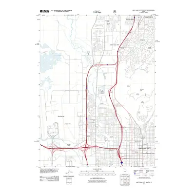
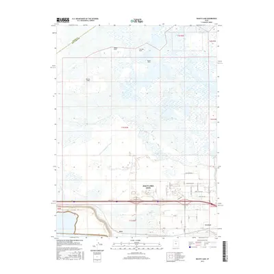
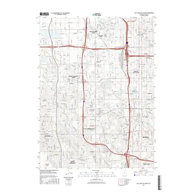
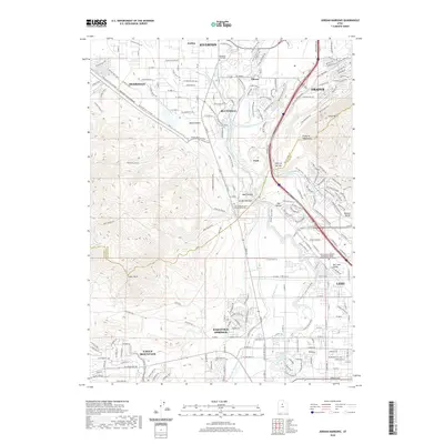
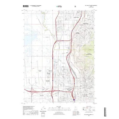
1951 Map of Salt Lake City North
USGS Topo · Published 1953About this map
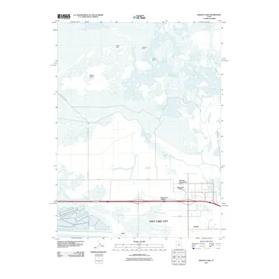
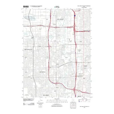
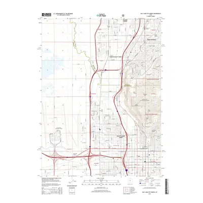
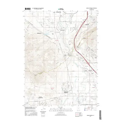
Salt Lake City and the Wasatch Mountains foothills meet in this mid-century portrait of Utah's capital. The map captures a transition era where industry and infrastructure dominate the lowlands, featuring the Municipal Airport No 1 and an extensive network of waterways including the Jordan River, Surplus Canal, and Sewage Canal. The city's core is meticulously detailed, showing the State Capitol, City and Co Bldg, and numerous schools such as West HS and Rowland Hall Sch. North of the city center, the landscape shifts toward the refineries and stockyards of North Salt Lake and the agricultural fringes of Woods Cross and Bountiful. This survey also documents the presence of the Bamberger Railroad and Union Pacific lines, alongside landmarks like Becks Hot Springs and the State Fairgrounds, providing a comprehensive look at the region's mid-twentieth-century development.
Find a feature on this map
84 named features on this map. Tap any name to fly to it.
Don’t see what you’re looking for? This feature index may not catch every label — zoom into the map to look around manually.
Map Details
Editions of this 1951 Salt Lake City North Map
This is the sole edition of this map. No revisions or reprints were ever made.
Historical Maps of Salt Lake City Through Time
80 maps found

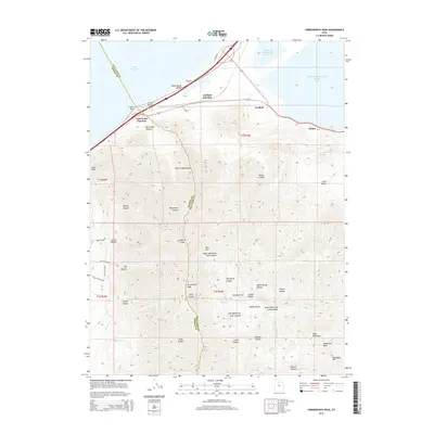
1925 Ft. Douglas
Salt Lake County, UT

1928 Ft. Douglas
Salt Lake County, UT

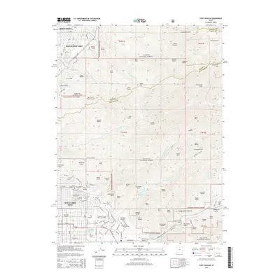
1950 Fort Douglas
Salt Lake County, UT

1951 Fort Douglas
Salt Lake County, UT

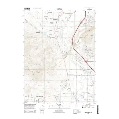
1951 Jones Narrows
Salt Lake County, UT

1951 Saltair
Salt Lake County, UT
1951 Salt Lake City North
Salt Lake County, UT

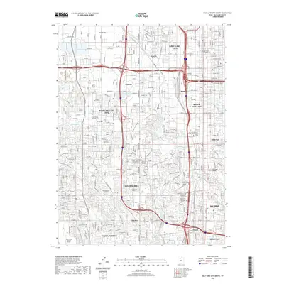
1951 Salt Lake City South
Salt Lake County, UT

1952 Garfield
Salt Lake County, UT

1952 Lark
Salt Lake County, UT

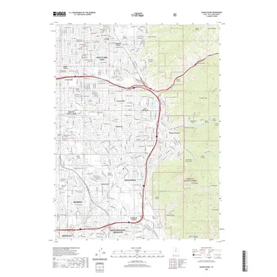
1952 Sugar House
Salt Lake County, UT

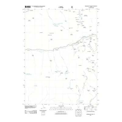
1955 Dromedary Peak
Salt Lake County, UT

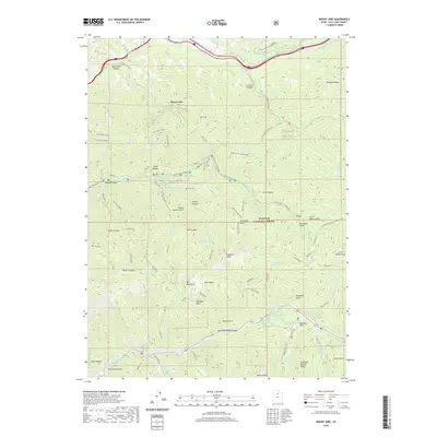
1955 Mount Aire
Salt Lake County, UT

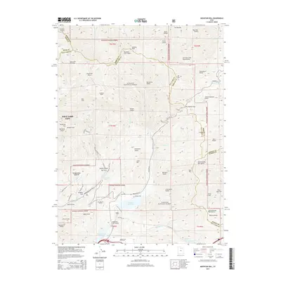
1961 Mountain Dell
Salt Lake County, UT

1963 Fort Douglas
Salt Lake County, UT

1963 Salt Lake City North
Salt Lake County, UT

1963 Salt Lake City South
Salt Lake County, UT

1963 Sugar House
Salt Lake County, UT

1972 Farnsworth Peak
Salt Lake County, UT

1972 Saltair
Salt Lake County, UT

1993 Jordan Narrows
Salt Lake County, UT

1997 Baileys Lake
Salt Lake County, UT

1998 Dromedary Peak
Salt Lake County, UT

1998 Fort Douglas
Salt Lake County, UT

1998 Mountain Dell
Salt Lake County, UT

1998 Mount Aire
Salt Lake County, UT

1998 Salt Lake City North
Salt Lake County, UT

1998 Sugar House
Salt Lake County, UT

1999 Jordan Narrows
Salt Lake County, UT

1999 Salt Lake City South
Salt Lake County, UT
2011 Baileys Lake
Salt Lake County, UT
2011 Dromedary Peak
Salt Lake County, UT
2011 Farnsworth Peak
Salt Lake County, UT
2011 Fort Douglas
Salt Lake County, UT
2011 Jordan Narrows
Salt Lake County, UT
2011 Mountain Dell
Salt Lake County, UT
2011 Mount Aire
Salt Lake County, UT
2011 Salt Lake City North
Salt Lake County, UT
2011 Salt Lake City South
Salt Lake County, UT
2011 Sugar House
Salt Lake County, UT
2014 Baileys Lake
Salt Lake County, UT
2014 Dromedary Peak
Salt Lake County, UT
2014 Farnsworth Peak
Salt Lake County, UT
2014 Fort Douglas
Salt Lake County, UT
2014 Jordan Narrows
Salt Lake County, UT
2014 Mountain Dell
Salt Lake County, UT
2014 Mount Aire
Salt Lake County, UT
2014 Salt Lake City North
Salt Lake County, UT
2014 Salt Lake City South
Salt Lake County, UT
2014 Sugar House
Salt Lake County, UT
2017 Baileys Lake
Salt Lake County, UT
2017 Dromedary Peak
Salt Lake County, UT
2017 Farnsworth Peak
Salt Lake County, UT
2017 Fort Douglas
Salt Lake County, UT
2017 Jordan Narrows
Salt Lake County, UT
2017 Mountain Dell
Salt Lake County, UT
2017 Mount Aire
Salt Lake County, UT
2017 Salt Lake City North
Salt Lake County, UT
2017 Salt Lake City South
Salt Lake County, UT
2017 Sugar House
Salt Lake County, UT
2020 Baileys Lake
Salt Lake County, UT
2020 Dromedary Peak
Salt Lake County, UT
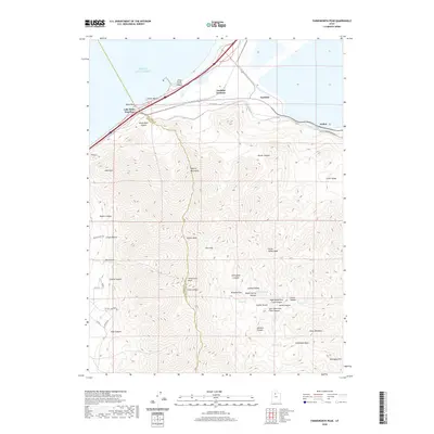
2020 Farnsworth Peak
Salt Lake County, UT
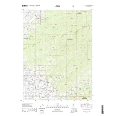
2020 Fort Douglas
Salt Lake County, UT
2020 Jordan Narrows
Salt Lake County, UT
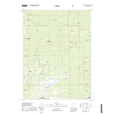
2020 Mountain Dell
Salt Lake County, UT
2020 Mount Aire
Salt Lake County, UT
2020 Salt Lake City North
Salt Lake County, UT
2020 Salt Lake City South
Salt Lake County, UT
2020 Sugar House
Salt Lake County, UT

2023 Baileys Lake
Salt Lake County, UT

2023 Dromedary Peak
Salt Lake County, UT

2023 Farnsworth Peak
Salt Lake County, UT

2023 Fort Douglas
Salt Lake County, UT

2023 Jordan Narrows
Salt Lake County, UT

2023 Mountain Dell
Salt Lake County, UT

2023 Mount Aire
Salt Lake County, UT

2023 Salt Lake City North
Salt Lake County, UT

2023 Salt Lake City South
Salt Lake County, UT

2023 Sugar House
Salt Lake County, UT