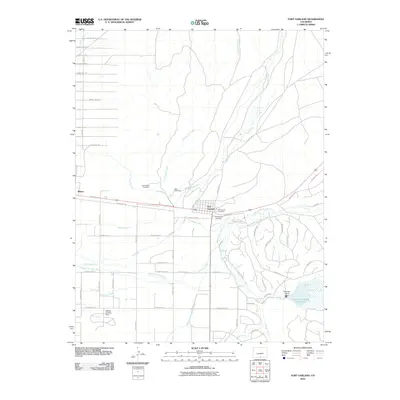
2010 Map of Fort Garland
USGS Topo · Published 2010About this map
Fort Garland and the nearby town of Blanca occupy a high-desert landscape defined by a sophisticated network of irrigation and water management systems. The engineering of the high plains is evident in the Sangre de Cristo-Trinchera Diversion Canal, Feedline Canal, and the Mountain Home Reservoir held by the Mountain Home Dam. These waterworks divert flow from Sangre de Cristo Creek and Ute Creek to support the local agricultural economy.
Find a feature on this map
68 named features on this map. Tap any name to fly to it.
Don’t see what you’re looking for? This feature index may not catch every label — zoom into the map to look around manually.
Map Details
Editions of this 2010 Fort Garland Map
This is the sole edition of this map. No revisions or reprints were ever made.
Other maps of this area

1889 · Huerfano Park
USGS Topo · 1:125,000

1892 · Huerfano Park
USGS Topo · 1:125,000

1954 · Trinidad
USGS Topo · 1:250,000

1955 · Trinidad
USGS Topo · 1:250,000

1958 · Trinidad
USGS Topo · 1:250,000

1959 · Trinidad
USGS Topo · 1:250,000

1965 · Blanca
USGS Topo · 1:24,000

1965 · Blanca SE
USGS Topo · 1:24,000

1965 · Twin Peaks
USGS Topo · 1:24,000

1967 · Fort Garland SW
USGS Topo · 1:24,000