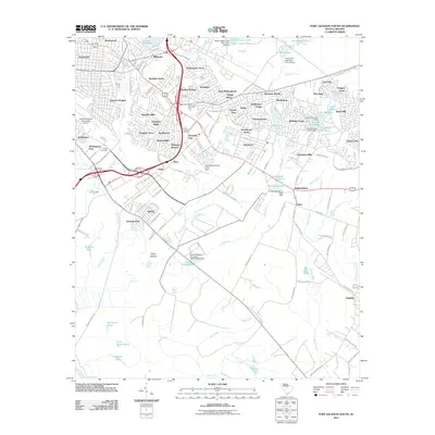
2011 Map of Fort Jackson South
USGS Topo · Published 2011About this map
Columbia Owens Downtown Airport anchors the western edge of this suburban landscape, which transitions from dense residential developments to more rural, water-rich terrain. The area is defined by a complex network of residential enclaves such as Heathwood, Millwood, and Rosewood, alongside later twentieth-century subdivisions like Brandon Acres and Pennington Acres. This map illustrates the substantial hydrography that shapes the region, featuring a string of reservoirs and ponds including Lake Katherine, Lower Legion Lake, and Sun View Lake.
Find a feature on this map
146 named features on this map. Tap any name to fly to it.
Don’t see what you’re looking for? This feature index may not catch every label — zoom into the map to look around manually.
Map Details
Editions of this 2011 Fort Jackson South Map
This is the sole edition of this map. No revisions or reprints were ever made.
Other maps of this area

1904 · Columbia
USGS Topo · 1:125,000

1935 · Killian
USGS Topo · 1:48,000

1937 · Killian
USGS Topo · 1:62,500

1941 · Spartanburg
USGS Topo · 1:250,000

1942 · Camden
USGS Topo · 1:125,000

1944 · Edmund
USGS Topo · 1:62,500

1947 · Columbia North
USGS Topo · 1:24,000

1948 · Hopkins
USGS Topo · 1:62,500

1948 · Columbia North
USGS Topo · 1:24,000

1953 · Messers Pond
USGS Topo · 1:24,000