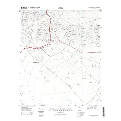
2014 Map of Fort Jackson South
USGS Topo · Published 2014About this map
Jim Hamilton LB Owens Airport and the surrounding neighborhoods of south Columbia define this landscape as it appeared in the early 21st century. The map shows the dense suburban growth southeast of the city center, spanning from the established streets of Heathwood and Rosewood down to the industrial and residential pockets near Arthurtown and Starlite. This document provides a highly detailed record of the local hydrology, where the waters of Gills Cr flow toward significant water bodies like Adams Pond and Big Goose Pond.
Find a feature on this map
234 named features on this map. Tap any name to fly to it.
Don’t see what you’re looking for? This feature index may not catch every label — zoom into the map to look around manually.
Map Details
Editions of this 2014 Fort Jackson South Map
This is the sole edition of this map. No revisions or reprints were ever made.
Other maps of this area

1904 · Columbia
USGS Topo · 1:125,000

1935 · Killian
USGS Topo · 1:48,000

1937 · Killian
USGS Topo · 1:62,500

1941 · Spartanburg
USGS Topo · 1:250,000

1942 · Camden
USGS Topo · 1:125,000

1944 · Edmund
USGS Topo · 1:62,500

1947 · Columbia North
USGS Topo · 1:24,000

1948 · Hopkins
USGS Topo · 1:62,500

1948 · Columbia North
USGS Topo · 1:24,000

1953 · Messers Pond
USGS Topo · 1:24,000