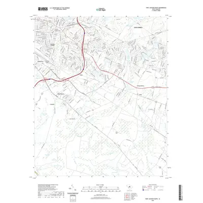
2020 Map of Fort Jackson South
USGS Topo · Published 2020About this map
The residential and industrial edges of Columbia meet the sprawling wetlands and small settlements of the South Carolina midlands in this contemporary topographic record. The map detail highlights the densely developed neighborhoods of Valencia Heights and Arthurtown, contrasted against the more rural Poplar Bottom and the aviation infrastructure at Jim Hamilton L B Owens Airport. For those tracing local heritage, the inclusion of Childs Cem and the Midlands Technical College Beltline Campus provides clear points of reference for the city's modern expansion.
Find a feature on this map
245 named features on this map. Tap any name to fly to it.
Don’t see what you’re looking for? This feature index may not catch every label — zoom into the map to look around manually.
Map Details
Editions of this 2020 Fort Jackson South Map
This is the sole edition of this map. No revisions or reprints were ever made.
Other maps of this area

1904 · Columbia
USGS Topo · 1:125,000

1935 · Killian
USGS Topo · 1:48,000

1937 · Killian
USGS Topo · 1:62,500

1941 · Spartanburg
USGS Topo · 1:250,000

1942 · Camden
USGS Topo · 1:125,000

1944 · Edmund
USGS Topo · 1:62,500

1947 · Columbia North
USGS Topo · 1:24,000

1948 · Hopkins
USGS Topo · 1:62,500

1948 · Columbia North
USGS Topo · 1:24,000

1953 · Messers Pond
USGS Topo · 1:24,000