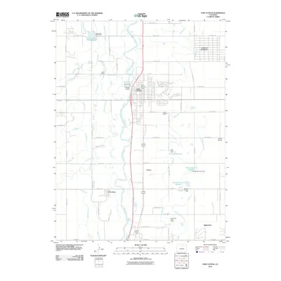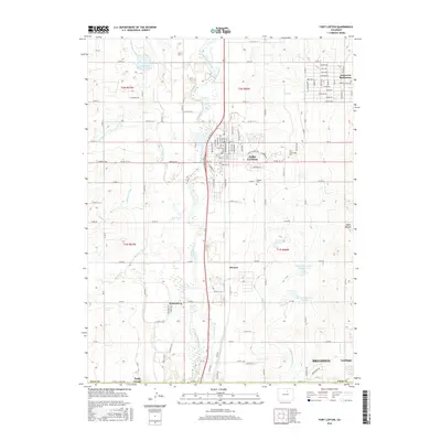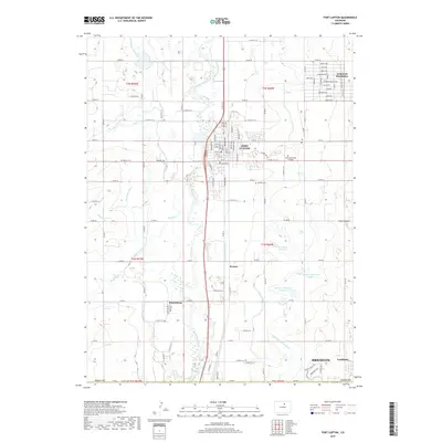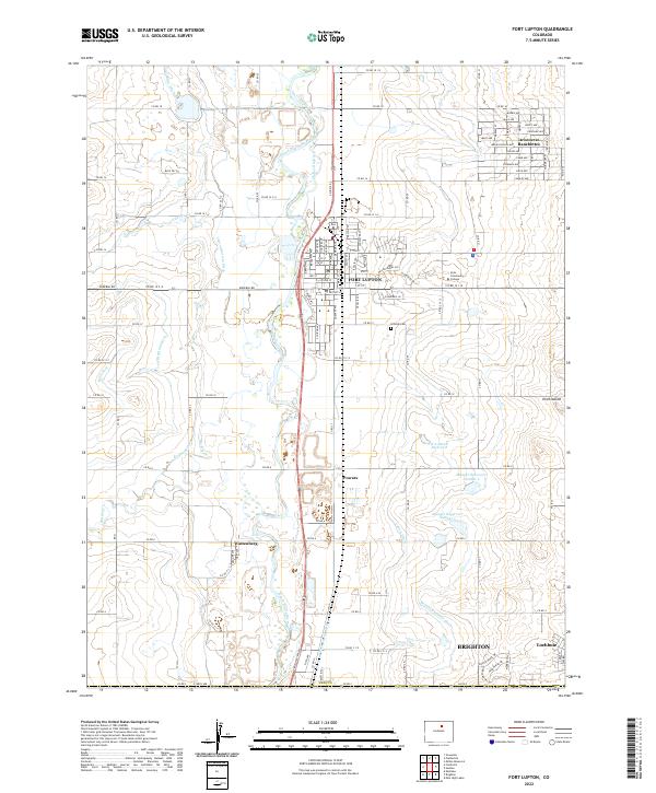
2022 Map of Fort Lupton
USGS Topo · Published 2022About this map
The South Platte River corridor north of Denver is defined by a complex irrigation network of ditches and canals supporting the agricultural life of Weld County. This 2022 survey illustrates the intersection of water management and suburban expansion, where historic arteries like the Fulton Ditch, Lupton Bottom Ditch, and Brighton Ditch weave through growing residential areas. The landscape is dotted with essential community anchors, from the Hillside Cem and Aims Community College in Fort Lupton to the residential clusters of Aristocrat-Ranchettes and Wattenberg. The industrial legacy of the region is visible via the Great Western RR, which follows the river's path, while significant local water storage is maintained at the H A Smith Reservoir and the twin Munger Reservoir Number 1 and Munger Reservoir Number 2.
Find a feature on this map
77 named features on this map. Tap any name to fly to it.
Don’t see what you’re looking for? This feature index may not catch every label — zoom into the map to look around manually.
Map Details
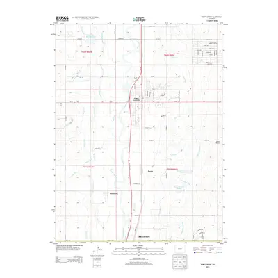
Editions of this 2022 Fort Lupton Map
This is the sole edition of this map. No revisions or reprints were ever made.
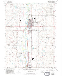
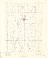
Historical Maps of Brighton Through Time
7 maps found