1949 Map of Platteville
USGS Topo · Published 1966About this map
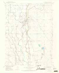
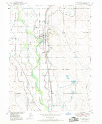
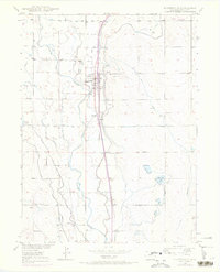
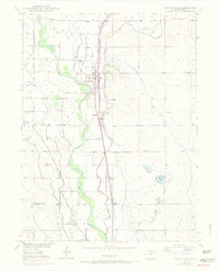
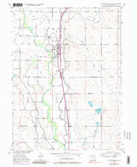
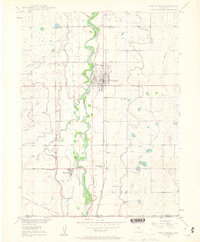
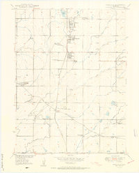
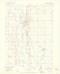
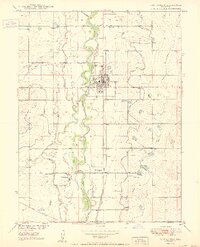
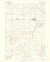
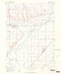
South Platte River hydrology dominates this 1949 study of the Colorado plains, where an intricate network of irrigation canals supported the local agricultural economy. The landscape is defined by the complex movement of water through the Meadow Island Ditch No 2, Independent Ditch, and Bucker Ditch, which redirect flow across the Bottoms. The town of Platteville serves as the central hub, situated along the Union Pacific railroad line, while smaller rail-side settlements like Ione and Maddux reflect the area's transport-oriented development.
Find a feature on this map
25 named features on this map. Tap any name to fly to it.
Don’t see what you’re looking for? This feature index may not catch every label — zoom into the map to look around manually.
Map Details
Editions of this 1949 Platteville Map
5 editions found
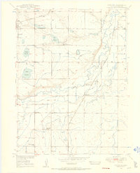
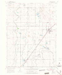
Other maps of this area

1902 · Greeley
USGS Topo · 1:125,000
1949 · Gowanda
USGS Topo · 1:24,000
1949 · Fort Lupton
USGS Topo · 1:24,000
1949 · Hudson
USGS Topo · 1:24,000
1950 · Frederick
USGS Topo · 1:24,000

1950 · Gowanda
USGS Topo · 1:24,000
1950 · Platteville
USGS Topo · 1:24,000
1950 · Fort Lupton
USGS Topo · 1:24,000
1950 · Johnstown
USGS Topo · 1:24,000
1950 · Milliken
USGS Topo · 1:24,000