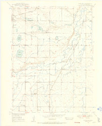
1949 Map of Platteville
USGS Topo · Published 1986About this map
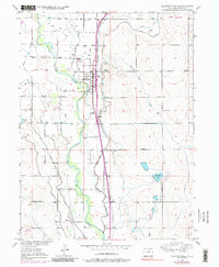
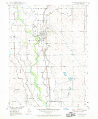
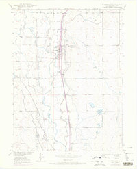
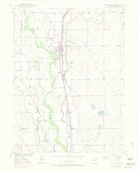
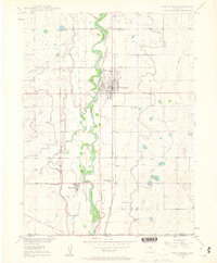
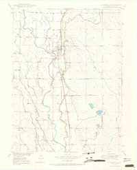
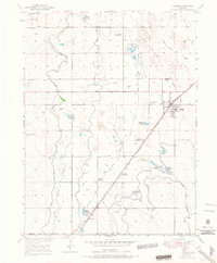
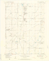
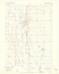
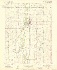
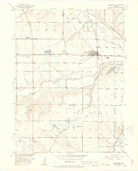
The South Platte River corridor south of Greeley is defined here by a sophisticated network of early twentieth-century water engineering. Extensive irrigation works, including the Evans No 2 Ditch, Valley Canal, and Fulton Extension Ditch, snake across the Weld County landscape to support the region's agricultural transition. The town of Platteville serves as the primary hub, situated where the Union Pacific line parallels the river.
Find a feature on this map
28 named features on this map. Tap any name to fly to it.
Don’t see what you’re looking for? This feature index may not catch every label — zoom into the map to look around manually.
Map Details
Editions of this 1949 Platteville Map
5 editions found
Other maps of this area

1902 · Greeley
USGS Topo · 1:125,000
1949 · Gowanda
USGS Topo · 1:24,000
1949 · Fort Lupton
USGS Topo · 1:24,000
1949 · Platteville
USGS Topo · 1:24,000
1949 · Hudson
USGS Topo · 1:24,000
1950 · Frederick
USGS Topo · 1:24,000

1950 · Gowanda
USGS Topo · 1:24,000
1950 · Platteville
USGS Topo · 1:24,000
1950 · Fort Lupton
USGS Topo · 1:24,000
1950 · Johnstown
USGS Topo · 1:24,000