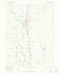
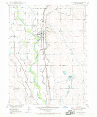
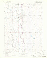
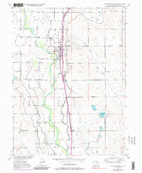
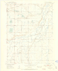
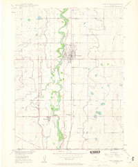
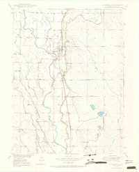
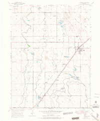
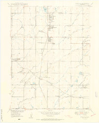
1949 Map of Platteville
USGS Topo · Published 1970About this map
The South Platte River carves a broad valley through this portion of Weld County, where a complex network of irrigation ditches supported a productive agricultural corridor by mid-century. Centered on Platteville, the landscape is defined by its reliance on water rights and rail transport, with the Union Pacific railroad running parallel to the river. Evidence of early frontier history is marked at the Site of Old Fort Vasquez, located just south of the main settlement. Small communities and loading points like Ione, Vollmar, Maddux, and Moore dot the rail line and riverbanks, reflecting the rural density of the era. The extensive ditch system, including the Evans No 2 Canal, Beeman Ditch, and Fulton Extension Ditch, illustrates the massive engineering efforts required to reclaim the high plains for farming. Notable local landmarks for genealogists include Mizpah Cem and St Francis Cemetery.
Find a feature on this map
25 named features on this map. Tap any name to fly to it.
Don’t see what you’re looking for? This feature index may not catch every label — zoom into the map to look around manually.
Map Details
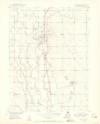
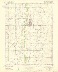
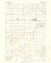
Editions of this 1949 Platteville Map
5 editions found
Other maps of this area

1902 · Greeley
USGS Topo · 1:125,000
1949 · Gowanda
USGS Topo · 1:24,000
1949 · Fort Lupton
USGS Topo · 1:24,000
1949 · Platteville
USGS Topo · 1:24,000
1949 · Hudson
USGS Topo · 1:24,000
1950 · Frederick
USGS Topo · 1:24,000

1950 · Gowanda
USGS Topo · 1:24,000
1950 · Platteville
USGS Topo · 1:24,000
1950 · Fort Lupton
USGS Topo · 1:24,000
1950 · Johnstown
USGS Topo · 1:24,000