1949 Map of Platteville
USGS Topo · Published 1970About this map
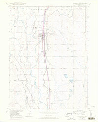
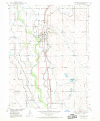
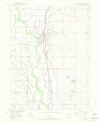
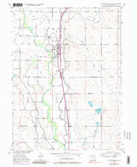
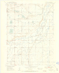
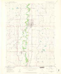
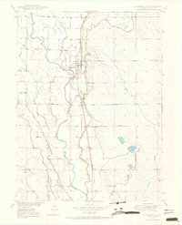
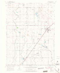
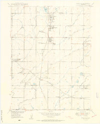
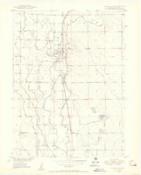
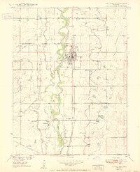
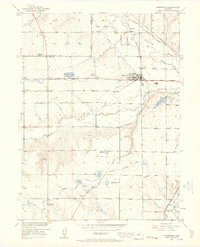
The South Platte River dictates the landscape of this 1949 survey, its winding course flanked by an intricate network of irrigation channels including the Platte Valley Canal, Beeman Ditch, and Fulton Ditch. This reliance on river water supported the agricultural communities of Platteville and nearby Ione, where the Union Pacific railroad provided essential transport for the region's produce. The map captures a moment when the rural landscape was meticulously organized around these water rights and rail sidings.
Find a feature on this map
23 named features on this map. Tap any name to fly to it.
Don’t see what you’re looking for? This feature index may not catch every label — zoom into the map to look around manually.
Map Details
Editions of this 1949 Platteville Map
5 editions found
Other maps of this area

1902 · Greeley
USGS Topo · 1:125,000
1949 · Gowanda
USGS Topo · 1:24,000
1949 · Fort Lupton
USGS Topo · 1:24,000
1949 · Platteville
USGS Topo · 1:24,000
1949 · Hudson
USGS Topo · 1:24,000
1950 · Frederick
USGS Topo · 1:24,000

1950 · Gowanda
USGS Topo · 1:24,000
1950 · Platteville
USGS Topo · 1:24,000
1950 · Fort Lupton
USGS Topo · 1:24,000
1950 · Johnstown
USGS Topo · 1:24,000