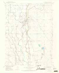
1950 Map of Platteville
USGS Topo · Published 1950About this map
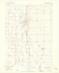
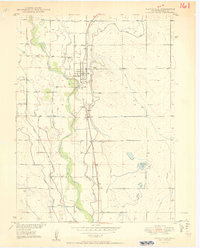
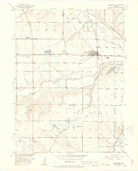
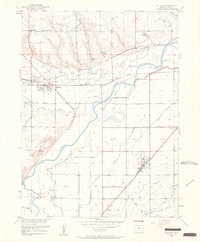
The South Platte River and its intricate network of irrigation canals define the landscape of central Weld County at the mid-century. This survey reveals a highly engineered agricultural valley where the river’s flow is diverted into numerous channels like Meadow Island Ditch No 2 and the Fulton Ditch to sustain the surrounding plains. The town of Platteville serves as the central hub, situated along the Union Pacific railroad corridor which also connects the smaller loading points and settlements of Maddux, Ione, and Vollmar. A notable historical marker on this map is the Site of Old Fort Vasquez, anchoring the region's 19th-century fur trading past to the modern surveyed grid. Local genealogical interest is found at St Francis Cemetery and Mizpah Cem, providing specific points of reference for families settled in this river-bottom territory.
Find a feature on this map
25 named features on this map. Tap any name to fly to it.
Don’t see what you’re looking for? This feature index may not catch every label — zoom into the map to look around manually.
Map Details
Editions of this 1950 Platteville Map
2 editions found
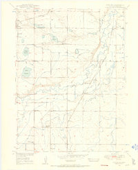
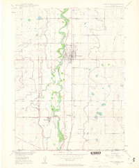
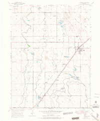
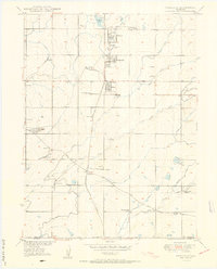
Other maps of this area

1902 · Greeley
USGS Topo · 1:125,000
1949 · Gowanda
USGS Topo · 1:24,000
1949 · Fort Lupton
USGS Topo · 1:24,000
1949 · Platteville
USGS Topo · 1:24,000
1949 · Hudson
USGS Topo · 1:24,000
1950 · Frederick
USGS Topo · 1:24,000

1950 · Gowanda
USGS Topo · 1:24,000
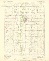
1950 · Fort Lupton
USGS Topo · 1:24,000
1950 · Johnstown
USGS Topo · 1:24,000
1950 · Milliken
USGS Topo · 1:24,000