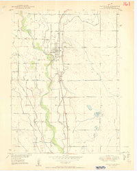
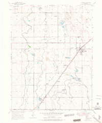
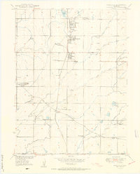
1950 Map of Platteville
USGS Topo · Published 1950About this map
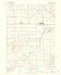
The South Platte River corridor dominates this 1950 survey, revealing a landscape defined by intensive irrigation and the legacy of the western frontier. The town of Platteville serves as the central hub, situated along the Union Pacific railroad and adjacent to the landmark Site of Old Fort Vasquez. This area represents a critical intersection of historical transportation and agriculture, where an intricate network of waterways like the Platte Valley Ditch, Beeman Ditch, and Fulton Extension Ditch divert river water to support the surrounding valley farms.
Find a feature on this map
23 named features on this map. Tap any name to fly to it.
Don’t see what you’re looking for? This feature index may not catch every label — zoom into the map to look around manually.
Map Details
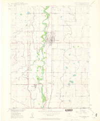
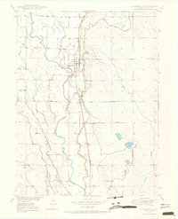
Editions of this 1950 Platteville Map
2 editions found
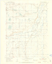
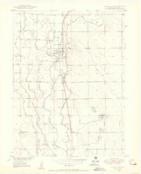
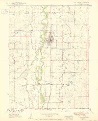
Other maps of this area

1902 · Greeley
USGS Topo · 1:125,000
1949 · Gowanda
USGS Topo · 1:24,000
1949 · Fort Lupton
USGS Topo · 1:24,000
1949 · Platteville
USGS Topo · 1:24,000
1949 · Hudson
USGS Topo · 1:24,000
1950 · Frederick
USGS Topo · 1:24,000

1950 · Gowanda
USGS Topo · 1:24,000
1950 · Platteville
USGS Topo · 1:24,000
1950 · Fort Lupton
USGS Topo · 1:24,000
1950 · Johnstown
USGS Topo · 1:24,000