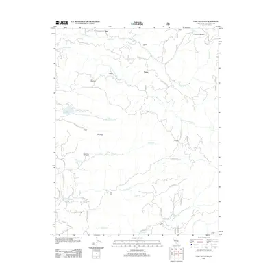
2012 Map of Fort Mountain
USGS Topo · Published 2012About this map
Fort Mountain dominates a landscape defined by the deep canyons of the S Fork Mokelumne River and the N Fork Calaveras River during this 2012 survey. The area's legacy of timber and ranching is evident through features like Mitchells Mill and Toutch Mill, along with historic properties such as Swiss Ranch and Rim Rock Ranch. Settlement is clustered in small pockets like Fuchs and Hams, while the presence of the Old Emigrant Trl and Quartz Mine Rd points to the region's mid-19th-century gold rush and migratory history.
Find a feature on this map
53 named features on this map. Tap any name to fly to it.
Don’t see what you’re looking for? This feature index may not catch every label — zoom into the map to look around manually.
Map Details
Editions of this 2012 Fort Mountain Map
This is the sole edition of this map. No revisions or reprints were ever made.
Other maps of this area

1889 · Jackson
USGS Topo · 1:125,000

1891 · Big Trees
USGS Topo · 1:125,000

1892 · Jackson
USGS Topo · 1:125,000

1894 · Big Trees
USGS Topo · 1:125,000

1897 · Jackson
USGS Topo · 1:125,000

1897 · Big Trees
USGS Topo · 1:125,000

1901 · Big Trees
USGS Topo · 1:125,000

1902 · Jackson
USGS Topo · 1:125,000

1945 · San Andreas
USGS Topo · 1:62,500

1947 · San Andreas
USGS Topo · 1:62,500