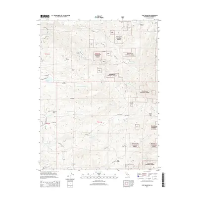
2015 Map of Fort Mountain
USGS Topo · Published 2015About this map
Stanislaus National Forest lands dominate this terrain in Calaveras County, where the upper reaches of the S Fork Mokelumne River and the N Fork Calaveras River carve through the landscape. The geography is defined by prominent ridges and valleys, including Pine Ridge, Summit Level Ridge, and Esperanza Valley. Small settlements such as Fort Jones, Fuchs, and Sandoz are scattered among the timberlands, connected by a network of rural roads like Silver Mountain Rd and Mitchell Mill Rd.
Find a feature on this map
51 named features on this map. Tap any name to fly to it.
Don’t see what you’re looking for? This feature index may not catch every label — zoom into the map to look around manually.
Map Details
Editions of this 2015 Fort Mountain Map
This is the sole edition of this map. No revisions or reprints were ever made.
Other maps of this area

1889 · Jackson
USGS Topo · 1:125,000

1891 · Big Trees
USGS Topo · 1:125,000

1892 · Jackson
USGS Topo · 1:125,000

1894 · Big Trees
USGS Topo · 1:125,000

1897 · Jackson
USGS Topo · 1:125,000

1897 · Big Trees
USGS Topo · 1:125,000

1901 · Big Trees
USGS Topo · 1:125,000

1902 · Jackson
USGS Topo · 1:125,000

1945 · San Andreas
USGS Topo · 1:62,500

1947 · San Andreas
USGS Topo · 1:62,500