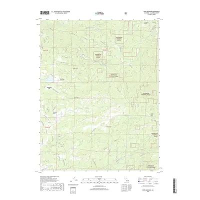
2018 Map of Fort Mountain
USGS Topo · Published 2018About this map
The S Fork Mokelumne River carves through this portion of the Stanislaus National Forest, defining a landscape of high ridges and deep drainages in Calaveras County. The settlement of Rail Road Flat serves as a primary reference point in the west, situated near Esperanza Valley and the Eagle Ridge Ranch Airport. These communities are connected by a network of historical paths and modern access ways, including the Old Emigrant Trl and various family-named routes such as Miller Ranch Rd and Wharregard Rd.
Find a feature on this map
63 named features on this map. Tap any name to fly to it.
Don’t see what you’re looking for? This feature index may not catch every label — zoom into the map to look around manually.
Map Details
Editions of this 2018 Fort Mountain Map
This is the sole edition of this map. No revisions or reprints were ever made.
Other maps of this area

1889 · Jackson
USGS Topo · 1:125,000

1891 · Big Trees
USGS Topo · 1:125,000

1892 · Jackson
USGS Topo · 1:125,000

1894 · Big Trees
USGS Topo · 1:125,000

1897 · Jackson
USGS Topo · 1:125,000

1897 · Big Trees
USGS Topo · 1:125,000

1901 · Big Trees
USGS Topo · 1:125,000

1902 · Jackson
USGS Topo · 1:125,000

1945 · San Andreas
USGS Topo · 1:62,500

1947 · San Andreas
USGS Topo · 1:62,500