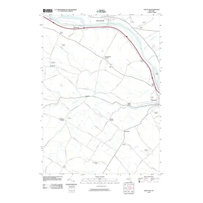
2010 Map of Fort Plain
USGS Topo · Published 2010About this map
The Mohawk River corridor defines the landscape of this 2010 survey, serving as the primary artery for both transit and historic settlement patterns. Near the village of Fort Plain, the convergence of Otsquago Creek and the river marks a dense area of local history, including the large Fort Plain Cemetery and several small airfields like Di Stefano Airpark. To the west, the community of Mindenville sits along the river's northern edge, while the rural uplands are dotted with family-named crossroads such as Charlesworth Corners, Keesler Corners, and Brookman Corners. This documentation of the Mohawk Valley shows a persistent network of family cemeteries—including the Nellis Cemetery, Klock Cemetery, and Yerding Cemetery—which remain preserved among the agricultural tracts and modern infrastructure of the valley floor.
Find a feature on this map
73 named features on this map. Tap any name to fly to it.
Don’t see what you’re looking for? This feature index may not catch every label — zoom into the map to look around manually.
Map Details
Editions of this 2010 Fort Plain Map
This is the sole edition of this map. No revisions or reprints were ever made.
Other maps of this area

1898 · Canajoharie
USGS Topo · 1:62,500

1900 · Little Falls
USGS Topo · 1:62,500

1900 · Canajoharie
USGS Topo · 1:62,500

1901 · Lassellsville
USGS Topo · 1:62,500

1902 · Canajoharie
USGS Topo · 1:62,500

1903 · Richfield Springs
USGS Topo · 1:62,500

1903 · Lassellsville
USGS Topo · 1:62,500

1903 · Little Falls
USGS Topo · 1:62,500

1939 · Little Falls
USGS Topo · 1:62,500

1943 · Sharon Springs
USGS Topo · 1:24,000