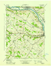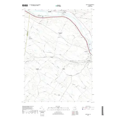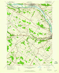
1944 Map of Fort Plain
USGS Topo · Published 1960About this map
The Mohawk River valley dominates this mid-century landscape, serving as a busy corridor for both the New York Central Railroad and the New York State Barge Canal. The riverside settlements of St Johnsville and Fort Plain function as the primary hubs, surrounded by a network of smaller farming hamlets like Hallsville, Mindenville, and Freysbush. Evidence of the region’s long agricultural and family history is visible in the numerous small burial grounds and rural schoolhouses that dot the hills, including the Nellis Cem and Klock Cem north of the river, and Walts Sch to the south.
Find a feature on this map
50 named features on this map. Tap any name to fly to it.
Don’t see what you’re looking for? This feature index may not catch every label — zoom into the map to look around manually.
Map Details
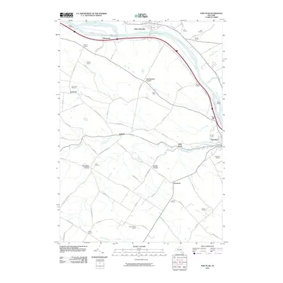
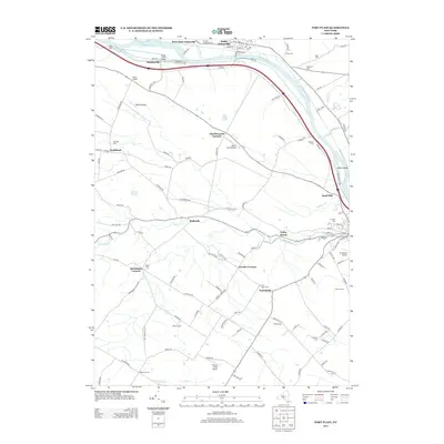
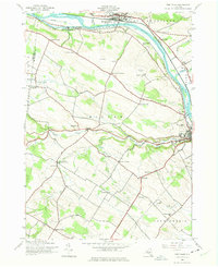
Editions of this 1944 Fort Plain Map
2 editions found
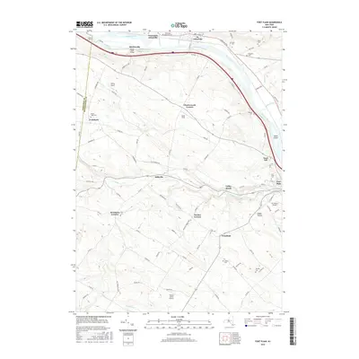
Historical Maps of Minden Through Time
7 maps found