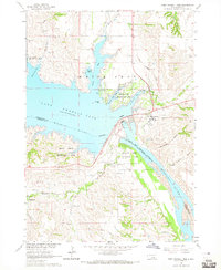
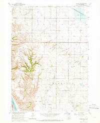
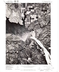
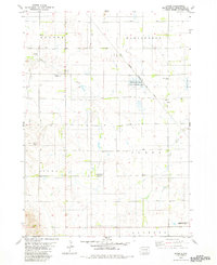
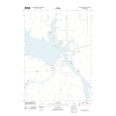
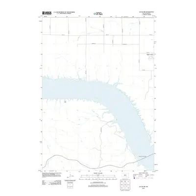
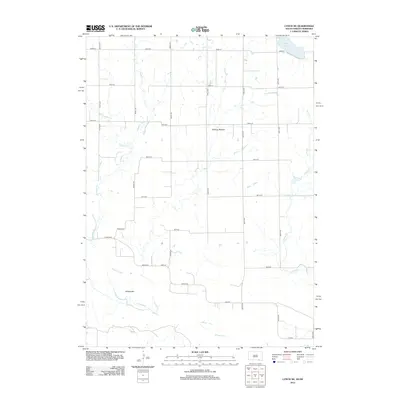
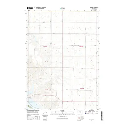
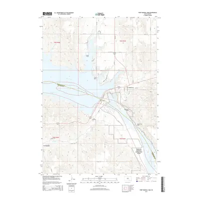
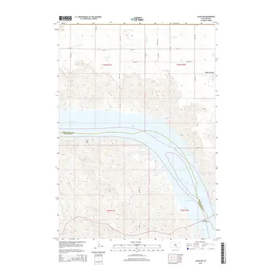
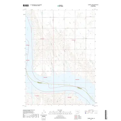
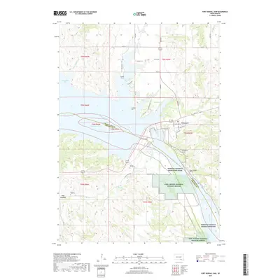
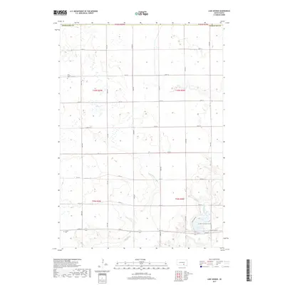
1964 Map of Fort Randall Dam
USGS Topo · Published 1965About this map
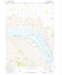
The Missouri River and the newly formed Lake Francis Case dominate this mid-century landscape, illustrating the massive transformation brought by the Pick-Sloan Missouri Basin Program. Central to the map is the Fort Randall Dam, which separates the high reservoir waters from the river's original channel. On the eastern shore, Pickstown serves as the primary settlement, established as a planned community for the workers and families who built the dam.
Find a feature on this map
30 named features on this map. Tap any name to fly to it.
Don’t see what you’re looking for? This feature index may not catch every label — zoom into the map to look around manually.
Map Details
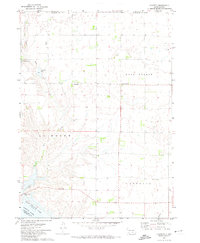
Editions of this 1964 Fort Randall Dam Map
This is the sole edition of this map. No revisions or reprints were ever made.
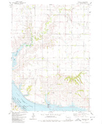
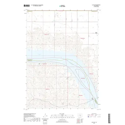
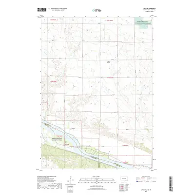
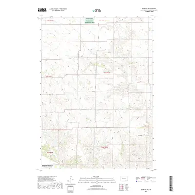
Historical Maps of Pickstown Through Time
69 maps found

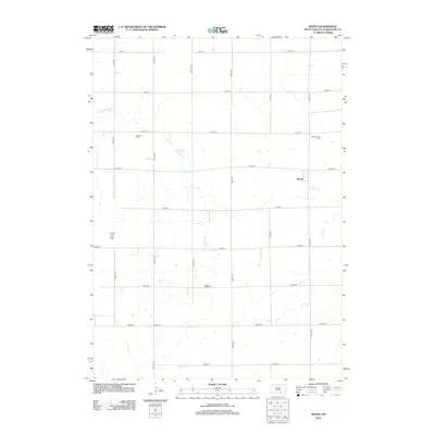
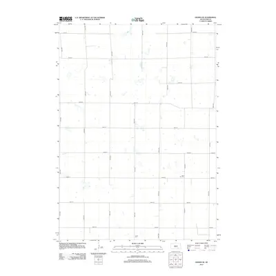
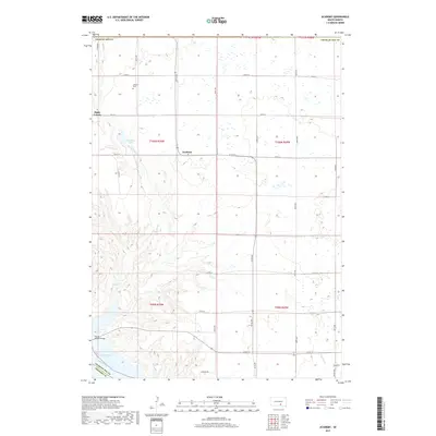
1964 Campbell Creek
Charles Mix County, SD
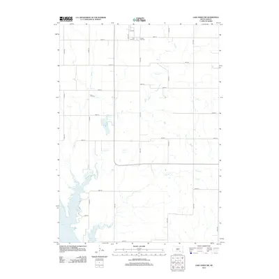
1964 Fort Randall Dam
Charles Mix County, SD
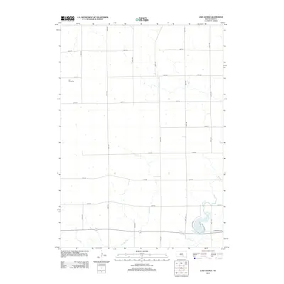
1964 Lake Andes NW
Charles Mix County, SD
1964 Lynch NE
Charles Mix County, SD
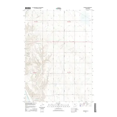
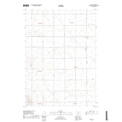
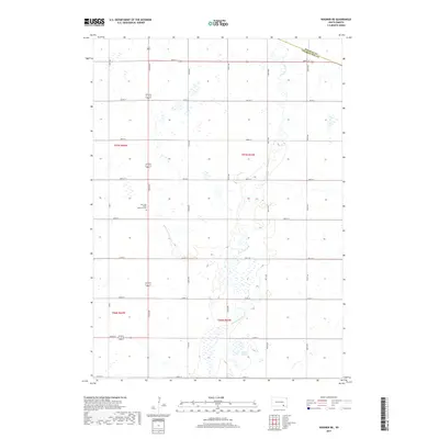
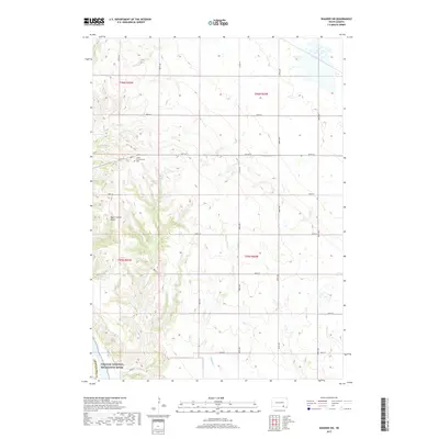
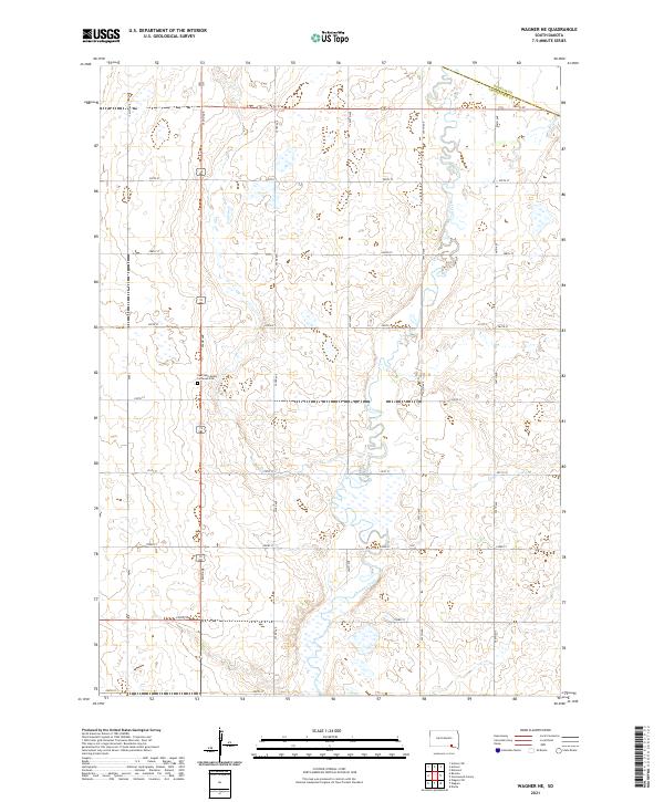
1964 Wagner NE
Charles Mix County, SD
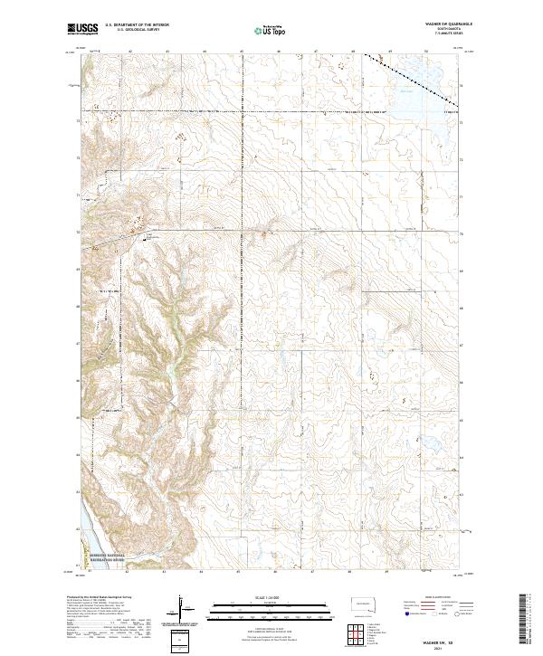
1964 Wagner SW
Charles Mix County, SD
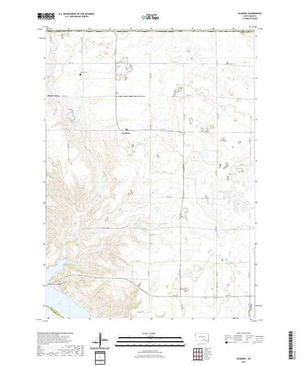
1971 Academy
Charles Mix County, SD
1971 Lucas NW
Charles Mix County, SD
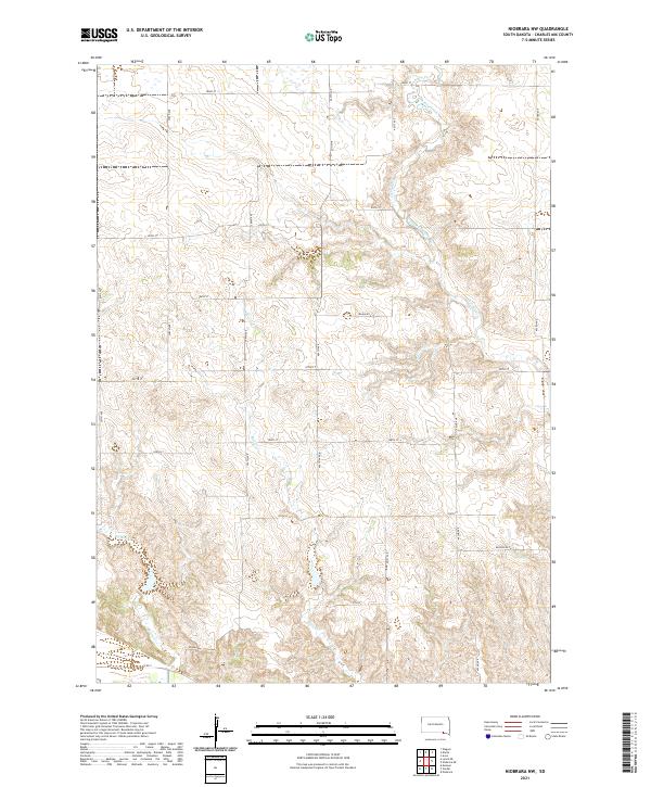
1972 Niobrara NW
Charles Mix County, SD
1977 Fort Randall Dam
Charles Mix County, SD
1977 Lake Andes NW
Charles Mix County, SD
1977 Wagner NE
Charles Mix County, SD
1977 Wagner SW
Charles Mix County, SD
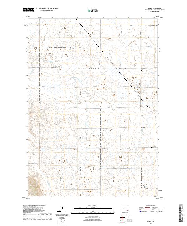
1979 Bovee
Charles Mix County, SD
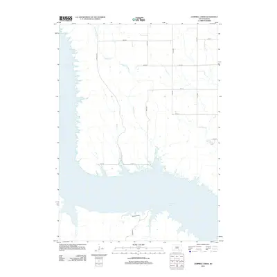
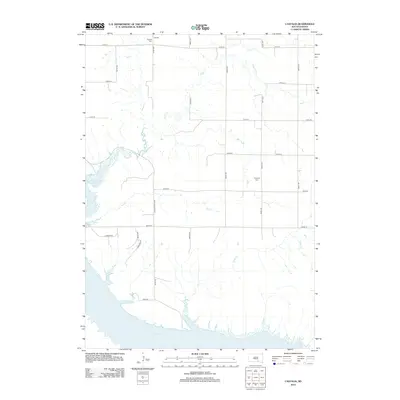
1979 Castalia
Charles Mix County, SD
1979 Geddes SE
Charles Mix County, SD

1979 Lake George
Charles Mix County, SD
2012 Academy
Charles Mix County, SD
2012 Bovee
Charles Mix County, SD
2012 Campbell Creek
Charles Mix County, SD
2012 Castalia
Charles Mix County, SD
2012 Fort Randall Dam
Charles Mix County, SD
2012 Geddes SE
Charles Mix County, SD
2012 Lake Andes NW
Charles Mix County, SD
2012 Lake George
Charles Mix County, SD
2012 Lucas NW
Charles Mix County, SD
2012 Lynch NE
Charles Mix County, SD
2012 Niobrara NW
Charles Mix County, SD
2012 Wagner NE
Charles Mix County, SD
2012 Wagner SW
Charles Mix County, SD
2015 Academy
Charles Mix County, SD
2015 Bovee
Charles Mix County, SD
2015 Campbell Creek
Charles Mix County, SD
2015 Castalia
Charles Mix County, SD
2015 Fort Randall Dam
Charles Mix County, SD
2015 Geddes SE
Charles Mix County, SD
2015 Lake Andes NW
Charles Mix County, SD
2015 Lake George
Charles Mix County, SD
2015 Lucas NW
Charles Mix County, SD
2015 Lynch NE
Charles Mix County, SD
2015 Niobrara NW
Charles Mix County, SD
2015 Wagner NE
Charles Mix County, SD
2015 Wagner SW
Charles Mix County, SD
2017 Academy
Charles Mix County, SD
2017 Bovee
Charles Mix County, SD
2017 Campbell Creek
Charles Mix County, SD
2017 Castalia
Charles Mix County, SD
2017 Fort Randall Dam
Charles Mix County, SD
2017 Geddes SE
Charles Mix County, SD
2017 Lake Andes NW
Charles Mix County, SD
2017 Lake George
Charles Mix County, SD
2017 Lucas NW
Charles Mix County, SD
2017 Lynch NE
Charles Mix County, SD
2017 Niobrara NW
Charles Mix County, SD
2017 Wagner NE
Charles Mix County, SD
2017 Wagner SW
Charles Mix County, SD
2021 Academy
Charles Mix County, SD
2021 Bovee
Charles Mix County, SD
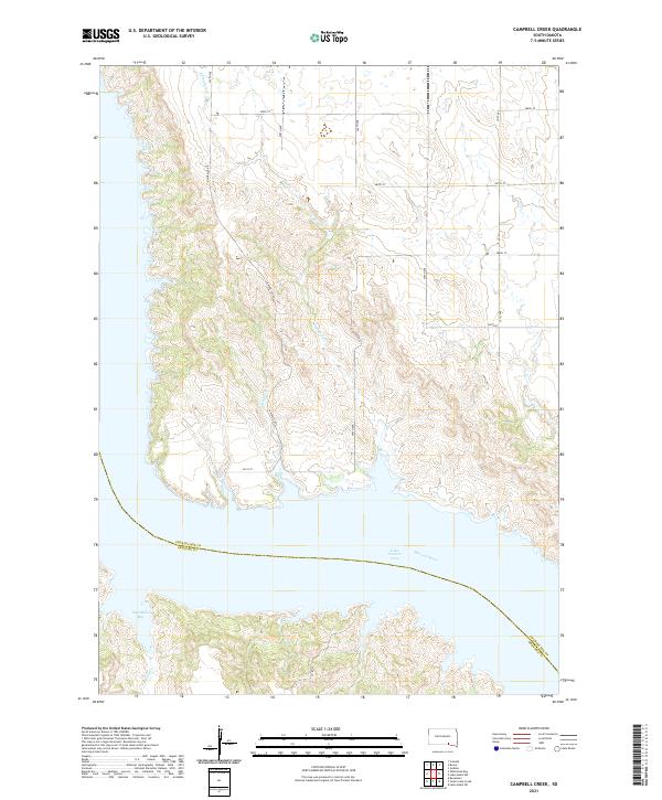
2021 Campbell Creek
Charles Mix County, SD
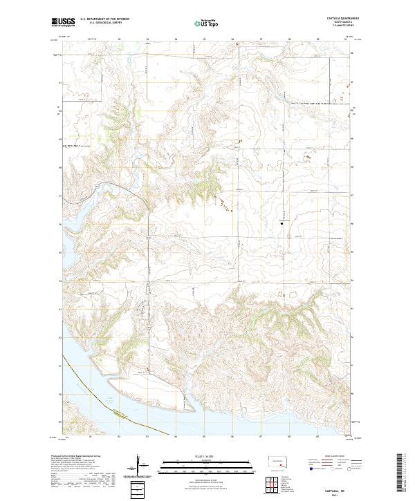
2021 Castalia
Charles Mix County, SD
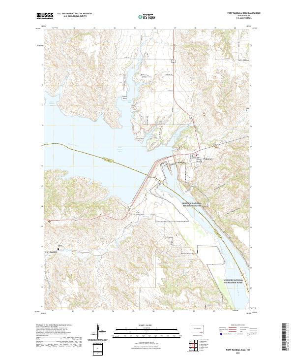
2021 Fort Randall Dam
Charles Mix County, SD
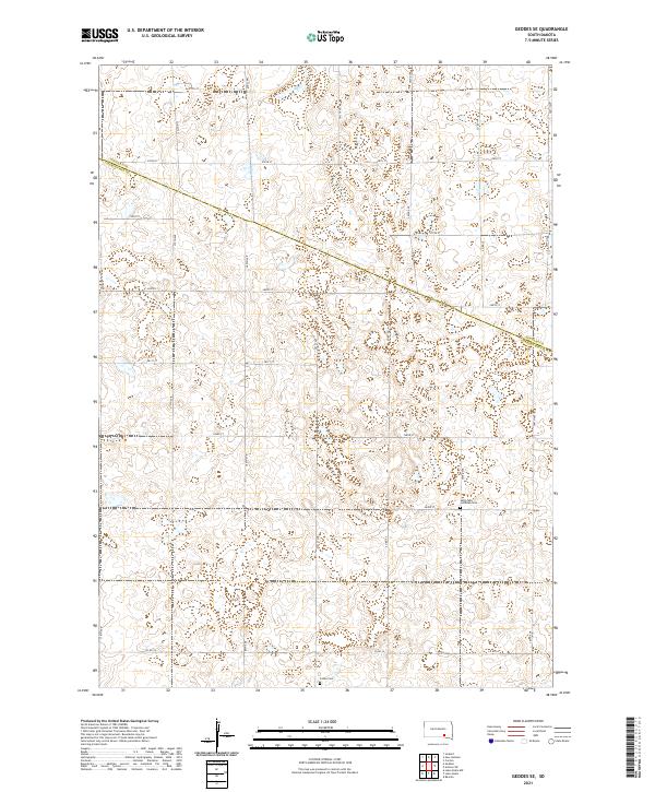
2021 Geddes SE
Charles Mix County, SD
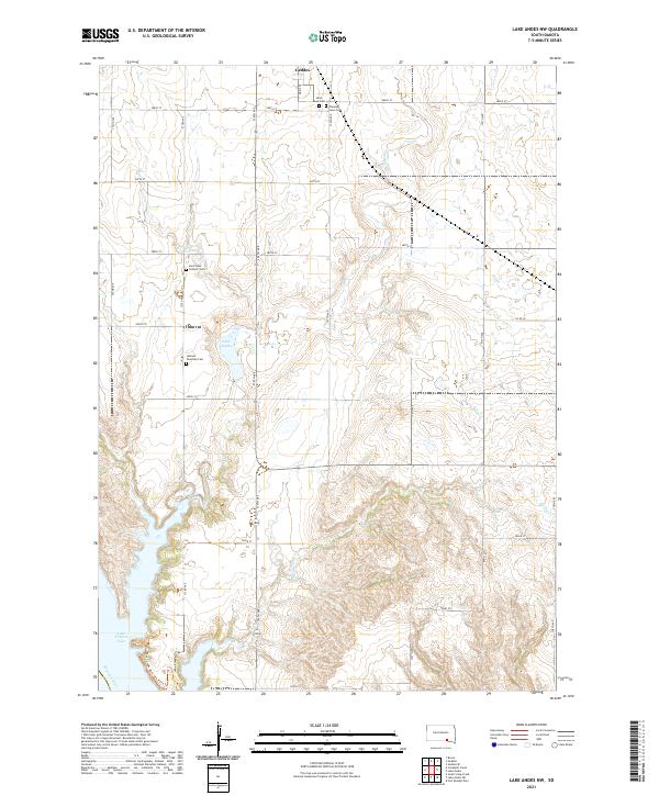
2021 Lake Andes NW
Charles Mix County, SD
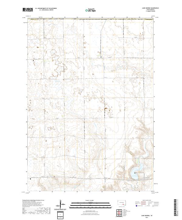
2021 Lake George
Charles Mix County, SD
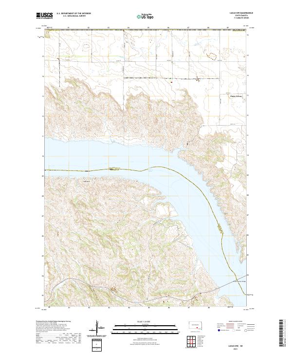
2021 Lucas NW
Charles Mix County, SD
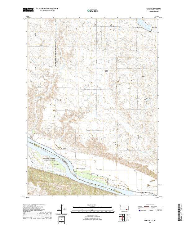
2021 Lynch NE
Charles Mix County, SD
2021 Niobrara NW
Charles Mix County, SD
2021 Wagner NE
Charles Mix County, SD
2021 Wagner SW
Charles Mix County, SD
Featured Locations
- Charles Mix County, SD
- Gregory County, SD
- White Swan Township, SD
- Fort Randall, SD
- Pickstown, White Swan Township