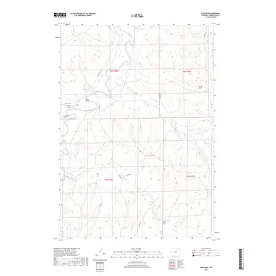
2017 Map of Fort Reno
USGS Topo · Published 2017About this map
Fort Reno and the adjacent Cantonment Reno stand along the banks of the Powder River, marking a critical juncture of Western frontier history. This landscape is deeply defined by the historic Bozeman Trl, which cuts across the terrain as it follows the drainage of the Dry Fork Powder River. The presence of the Reno Post Cem provides a tangible link to the military personnel who occupied this outpost during the Indian Wars era. Beyond the military sites, the map details a network of drainage systems and draws, including Reno Draw and Jepson Draw, alongside modern ranching infrastructure like Streeter Reservoir. The geography illustrates how early transportation corridors like the Bozeman Trail were dictated by water sources and the natural breaks in the hills.
Find a feature on this map
21 named features on this map. Tap any name to fly to it.
Don’t see what you’re looking for? This feature index may not catch every label — zoom into the map to look around manually.
Map Details
Editions of this 2017 Fort Reno Map
This is the sole edition of this map. No revisions or reprints were ever made.
Other maps of this area

1953 · Hoe Ranch
USGS Topo · 1:24,000

1953 · Dry Fork Ranch
USGS Topo · 1:24,000

1953 · Fort Reno
USGS Topo · 1:24,000

1953 · Fort Reno SE
USGS Topo · 1:24,000

1953 · The Nipple
USGS Topo · 1:24,000

1954 · House Creek
USGS Topo · 1:24,000

1955 · Arminto
USGS Topo · 1:250,000

1958 · Arminto
USGS Topo · 1:250,000

1961 · Soldier Creek
USGS Topo · 1:24,000

1961 · Provence Ranch
USGS Topo · 1:24,000