
1953 Map of Fort Reno
USGS Topo · Published 1954About this map
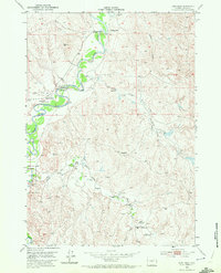
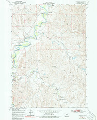
The Powder River meanders through this portion of Johnson County, cutting through a landscape marked by the deep historical footprints of the American West. This mid-century survey notes the Fort Reno (Historical Marker) and the Bozeman Trail (Historical Marker), tracing the path of 19th-century migration and military presence. The former Military Res (Abandoned) and nearby Mc Kinney highlight the transition from frontier outposts to a ranching-based economy.
Find a feature on this map
21 named features on this map. Tap any name to fly to it.
Don’t see what you’re looking for? This feature index may not catch every label — zoom into the map to look around manually.
Map Details
Editions of this 1953 Fort Reno Map
3 editions found
Other maps of this area

1953 · Hoe Ranch
USGS Topo · 1:24,000

1953 · Dry Fork Ranch
USGS Topo · 1:24,000

1953 · Fort Reno SE
USGS Topo · 1:24,000

1953 · The Nipple
USGS Topo · 1:24,000

1954 · House Creek
USGS Topo · 1:24,000

1955 · Arminto
USGS Topo · 1:250,000

1958 · Arminto
USGS Topo · 1:250,000

1961 · Soldier Creek
USGS Topo · 1:24,000

1961 · Provence Ranch
USGS Topo · 1:24,000
1961 · Sussex
USGS Topo · 1:24,000