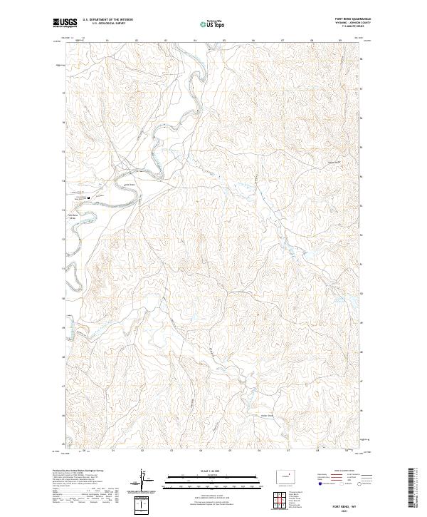
2021 Map of Fort Reno
USGS Topo · Published 2021About this map
Fort Reno and its surrounding landscape along the Powder River are the central focus of this modern survey in Johnson County. This area holds significant military and frontier history, notably preserving the site of the Contonment Reno Post Cem and the Reno Post Cem. The terrain is defined by its drainage systems, including Reno Draw and Fort Reno Draw, which cut through the high plains toward the river.
Find a feature on this map
20 named features on this map. Tap any name to fly to it.
Don’t see what you’re looking for? This feature index may not catch every label — zoom into the map to look around manually.
Map Details
Editions of this 2021 Fort Reno Map
This is the sole edition of this map. No revisions or reprints were ever made.
Other maps of this area

1953 · Hoe Ranch
USGS Topo · 1:24,000

1953 · Dry Fork Ranch
USGS Topo · 1:24,000

1953 · Fort Reno
USGS Topo · 1:24,000

1953 · Fort Reno SE
USGS Topo · 1:24,000

1953 · The Nipple
USGS Topo · 1:24,000

1954 · House Creek
USGS Topo · 1:24,000

1955 · Arminto
USGS Topo · 1:250,000

1958 · Arminto
USGS Topo · 1:250,000

1961 · Soldier Creek
USGS Topo · 1:24,000

1961 · Provence Ranch
USGS Topo · 1:24,000