Loading...
Loading map...2021 Map of Fort Washakie
USGS Topo · Published 2021About this map
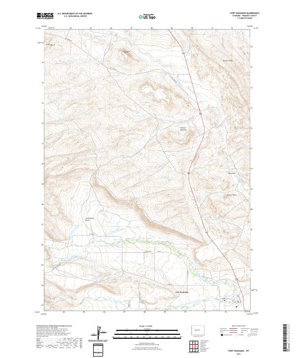
Fort Washakie sits at the heart of this landscape where the North Fork Little Wind River and South Fork Little Wind River define the valley floors. The complex system of irrigation and water management is clearly visible through features like the N Fork Diversion Canal, N Fork Ditch Number 1, and N Fork Ditch Number 2. These engineered waterways contrast with the surrounding high country, including the prominent Sandstone Butte and the sprawling Countryman Basin.
Find a feature on this map
36 named features on this map. Tap any name to fly to it.
Don’t see what you’re looking for? This feature index may not catch every label — zoom into the map to look around manually.
Map Details
Date Portrayed2021
Date Published2021
PublisherU.S. Geological Survey
Map TypeTopographic
Scale1:24000
Physical Dimensions24 x 29 inches
Editions of this 2021 Fort Washakie Map
This is the sole edition of this map. No revisions or reprints were ever made.
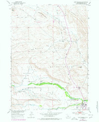
Historical Maps of Fort Washakie Through Time
Featured Locations
Source Details
SourceU.S. Geological Survey
CopyrightPublic Domain