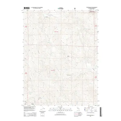
2015 Map of Foster Mountain
USGS Topo · Published 2015About this map
Hearst is the primary settlement point in this northern California landscape, centered where Hearst Post Office Rd meets the upper drainage of the Eel River. The terrain is defined by the sharp rise of Foster Mountain and the deep incisions of Bearskin Canyon and Dead Horse Canyon. The presence of Mendocino National Forest across the northeast indicates the transition from private land to federally managed wilderness.
Find a feature on this map
36 named features on this map. Tap any name to fly to it.
Don’t see what you’re looking for? This feature index may not catch every label — zoom into the map to look around manually.
Map Details
Editions of this 2015 Foster Mountain Map
This is the sole edition of this map. No revisions or reprints were ever made.
Other maps of this area

1922 · Willits
USGS Topo · 1:62,500

1929 · Eden Valley
USGS Topo · 1:62,500

1942 · Willits
USGS Topo · 1:62,500

1943 · Pomo
USGS Topo · 1:62,500

1944 · Willits
USGS Topo · 1:62,500

1951 · Laytonville
USGS Topo · 1:62,500

1952 · Eden Valley
USGS Topo · 1:62,500

1957 · Ukiah
USGS Topo · 1:250,000

1960 · Ukiah
USGS Topo · 1:250,000
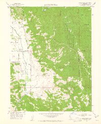
1960 · Potter Valley
USGS Topo · 1:24,000