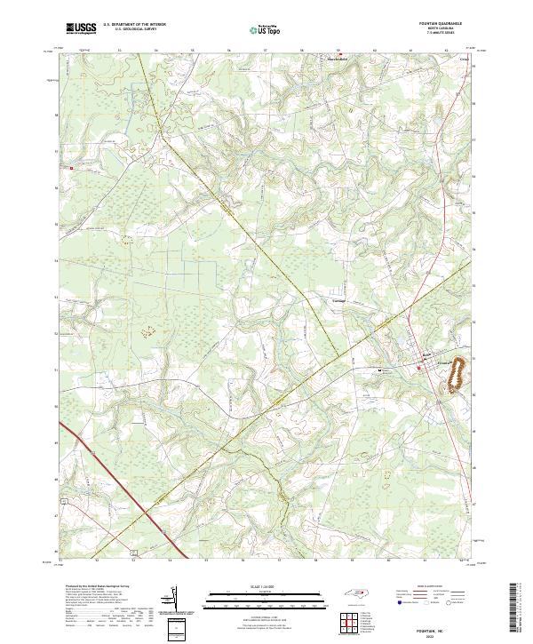
2022 Map of Fountain
USGS Topo · Published 2022About this map
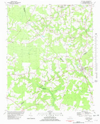
The town of Fountain sits at the junction of several county lines, serving as a hub for the agricultural plains of eastern North Carolina. This landscape is defined by its intricate drainage patterns, where low-lying areas like Goss Swamp and The Pocosin break up the fertile farm plots. Numerous small waterways, including Bynums Mill Run and Langs Mill Run, suggest a history tied to early water-powered industry and milling, even as modern road networks have since bypassed these traditional centers.
Find a feature on this map
75 named features on this map. Tap any name to fly to it.
Don’t see what you’re looking for? This feature index may not catch every label — zoom into the map to look around manually.
Map Details
Editions of this 2022 Fountain Map
This is the sole edition of this map. No revisions or reprints were ever made.