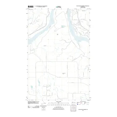
2011 Map of Four Mound Prairie
USGS Topo · Published 2011About this map
Four Mound Prairie characterizes this portion of Spokane County, where the high flatland drops away toward the Spokane River. In this early 21st-century landscape, the transition from the prairie down to the water is marked by distinctive geological features like Eagle Rock and the elevations of Mount Godfrey. The river itself expands into significant bodies of water including Long Lake and Knight Lake, which define the northern and eastern boundaries of the area.
Find a feature on this map
57 named features on this map. Tap any name to fly to it.
Don’t see what you’re looking for? This feature index may not catch every label — zoom into the map to look around manually.
Map Details
Editions of this 2011 Four Mound Prairie Map
This is the sole edition of this map. No revisions or reprints were ever made.
Other maps of this area

1943 · Medical Lake
USGS Topo · 1:62,500

1944 · Clayton
USGS Topo · 1:62,500

1944 · Wellpinit
USGS Topo · 1:62,500

1945 · Reardan
USGS Topo · 1:62,500

1950 · Clayton
USGS Topo · 1:62,500

1953 · Reardan
USGS Topo · 1:62,500

1953 · Wellpinit
USGS Topo · 1:62,500

1954 · Airway Heights
USGS Topo · 1:24,000

1954 · Medical Lake
USGS Topo · 1:62,500

1954 · Deep Creek
USGS Topo · 1:24,000