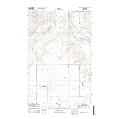
2014 Map of Four Mound Prairie
USGS Topo · Published 2014About this map
Four Mound Prairie anchors the southern half of this landscape, where the plateau meets the dramatic descent toward the Spokane River. In the early 21st century, this region northwest of Spokane remains a mix of open upland and deep coulees. The river is dominated by the reservoir of Long Lake, which forms the boundary between Stevens Co and Spokane Co. Significant topographical landmarks like Eagle Rock and the winding Corkscrew Canyon define the area's geological character near Mt Godfrey. Small bodies of water such as Knight Lake, Davis Lake, and Woods Lake dot the prairie, while the localized Tightcliff Airport and the settlement at West Point indicate the modest residential and aviation footprint of the era. The road network, including Wa-291, follows the river's path, connecting various canyon-side developments like those near Holmes Canyon.
Find a feature on this map
67 named features on this map. Tap any name to fly to it.
Don’t see what you’re looking for? This feature index may not catch every label — zoom into the map to look around manually.
Map Details
Editions of this 2014 Four Mound Prairie Map
This is the sole edition of this map. No revisions or reprints were ever made.
Other maps of this area

1943 · Medical Lake
USGS Topo · 1:62,500

1944 · Clayton
USGS Topo · 1:62,500

1944 · Wellpinit
USGS Topo · 1:62,500

1945 · Reardan
USGS Topo · 1:62,500

1950 · Clayton
USGS Topo · 1:62,500

1953 · Reardan
USGS Topo · 1:62,500

1953 · Wellpinit
USGS Topo · 1:62,500

1954 · Airway Heights
USGS Topo · 1:24,000

1954 · Medical Lake
USGS Topo · 1:62,500

1954 · Deep Creek
USGS Topo · 1:24,000