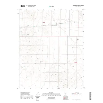
2018 Map of Fourth of July Mountain
USGS Topo · Published 2018About this map
Fourth of July Mtn rises above a desert landscape defined by scattered water sources and protected lands in southern Nevada. This 2018 survey illustrates the arid topography where the Mojave Desert meets the Newberry Mountains. The map highlights critical water points for the region, including Boat Tank Springs, Summit Spring, and Indian Spring, which have long served as vital landmarks in this dry terrain.
Find a feature on this map
17 named features on this map. Tap any name to fly to it.
Don’t see what you’re looking for? This feature index may not catch every label — zoom into the map to look around manually.
Map Details
Editions of this 2018 Fourth of July Mountain Map
This is the sole edition of this map. No revisions or reprints were ever made.
Other maps of this area

1886 · Camp Mohave
USGS Topo · 1:250,000

1892 · Camp Mohave
USGS Topo · 1:250,000

1926 · Nelson
USGS Topo · 1:96,000

1926 · Mohave City
USGS Topo · 1:96,000

1942 · Camp Mohave
USGS Topo · 1:250,000

1947 · Kingman
USGS Topo · 1:250,000

1948 · Kingman
USGS Topo · 1:250,000

1954 · Kingman
USGS Topo · 1:250,000

1955 · Kingman
USGS Topo · 1:250,000

1958 · Kingman
USGS Topo · 1:250,000