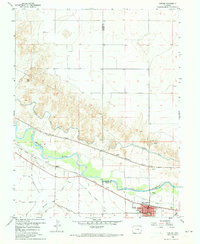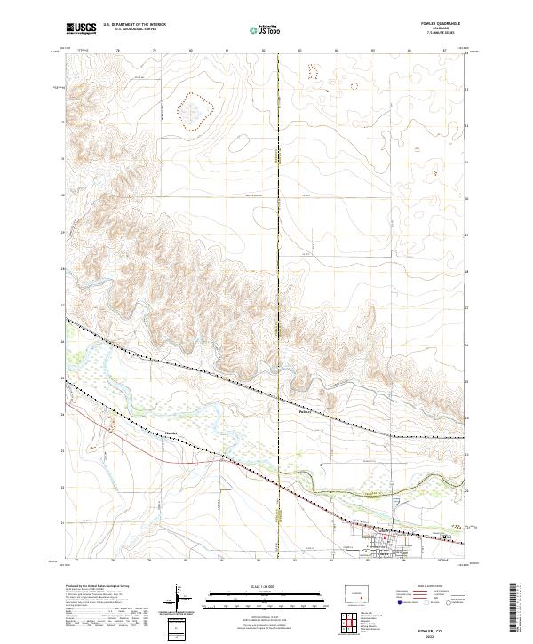
2022 Map of Fowler
USGS Topo · Published 2022About this map
Arkansas River hydrology and the complex network of human-made irrigation systems define this landscape along the borders of Pueblo, Crowley, and Otero Counties. The town of Fowler serves as the primary hub, where local streets like W Pitkin Ave and E Cranston Ave meet the surrounding agricultural lands. The map records the vital infrastructure of the high plains, including the Colorado Canal, the Oxford-Farmers Ditch, and the Otero Canal, which deviate from the river to support the region's farms.
Find a feature on this map
32 named features on this map. Tap any name to fly to it.
Don’t see what you’re looking for? This feature index may not catch every label — zoom into the map to look around manually.
Map Details
Editions of this 2022 Fowler Map
This is the sole edition of this map. No revisions or reprints were ever made.