Loading...
Loading map...2023 Map of Fox Island
USGS Topo · Published 2023About this map
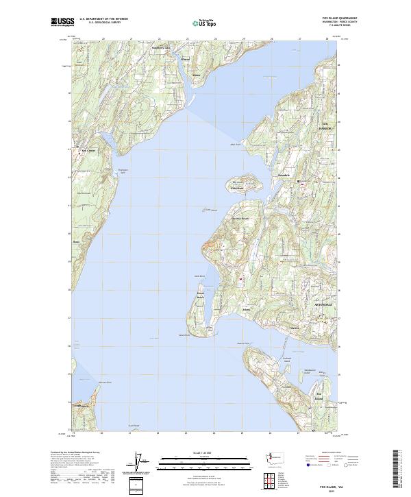
Fox Island sits at the heart of this coastal survey, separated from the Great Peninsula by the waters of Hale Passage and Carr Inlet. The landscape is defined by its intricate shoreline, where deep-water coves like Glen Cove and Horsehead Bay provide natural harbors for residential clusters and maritime activity. The network of modern roads, including Key Peninsula Hwy N and Creviston Drive KP N, connects established communities such as Wauna, Arletta, and Rosedale.
Find a feature on this map
142 named features on this map. Tap any name to fly to it.
Don’t see what you’re looking for? This feature index may not catch every label — zoom into the map to look around manually.
Map Details
Date Portrayed2023
Date Published2023
PublisherU.S. Geological Survey
Map TypeTopographic
Scale1:24000
Physical Dimensions24 x 29 inches
Editions of this 2023 Fox Island Map
This is the sole edition of this map. No revisions or reprints were ever made.
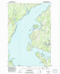
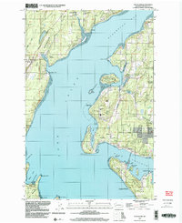
Historical Maps of Minter Through Time
3 maps found
Featured Locations
Source Details
SourceU.S. Geological Survey
CopyrightPublic Domain